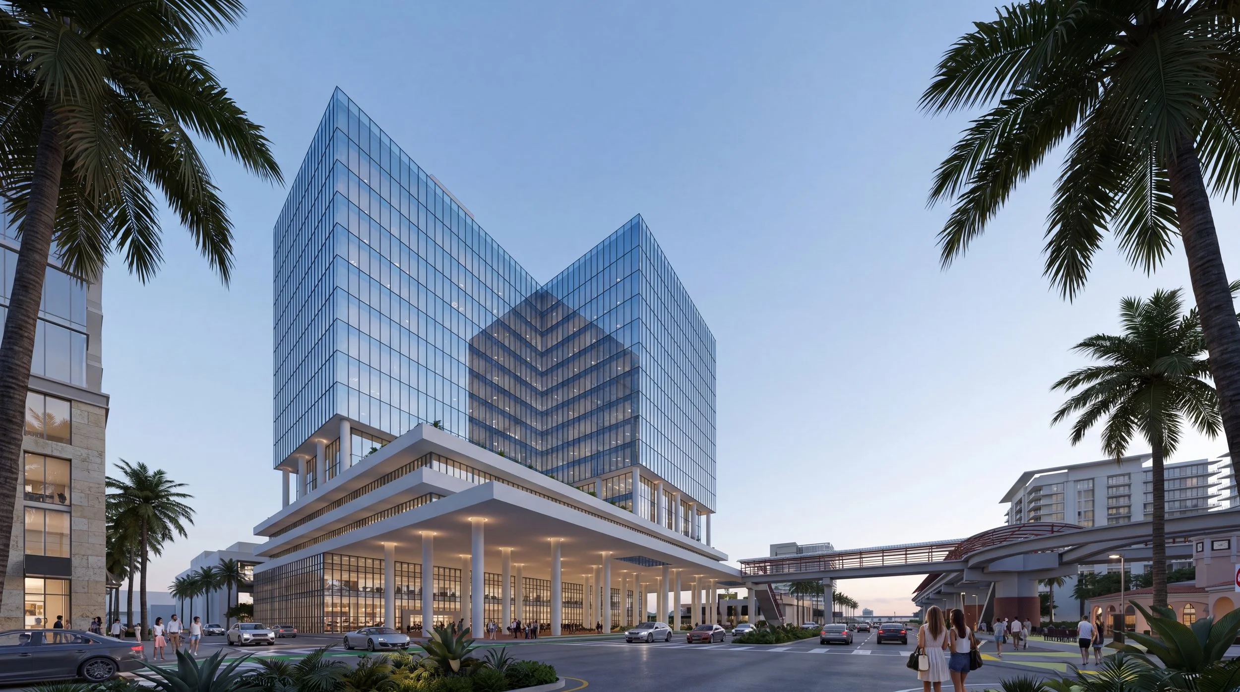
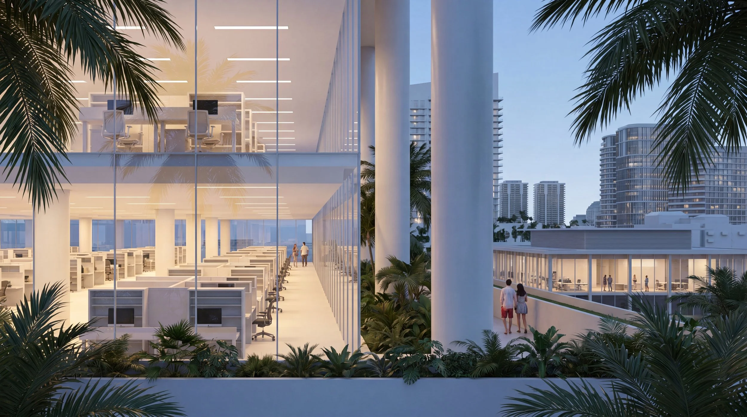
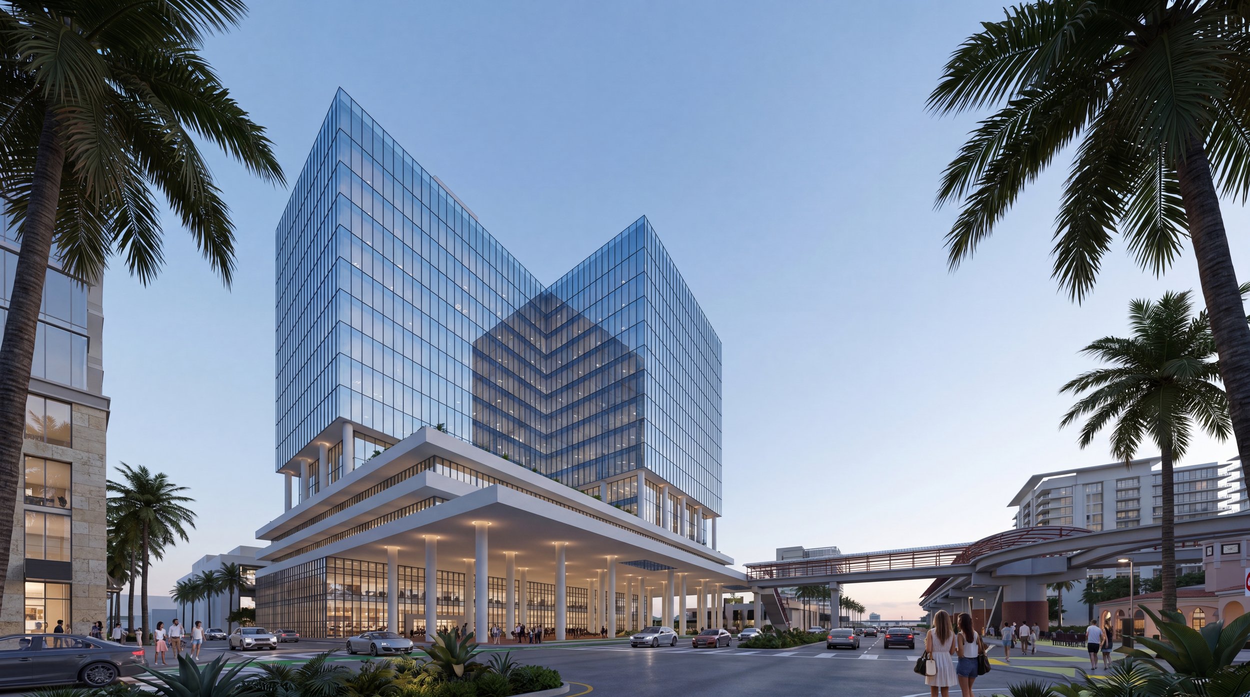
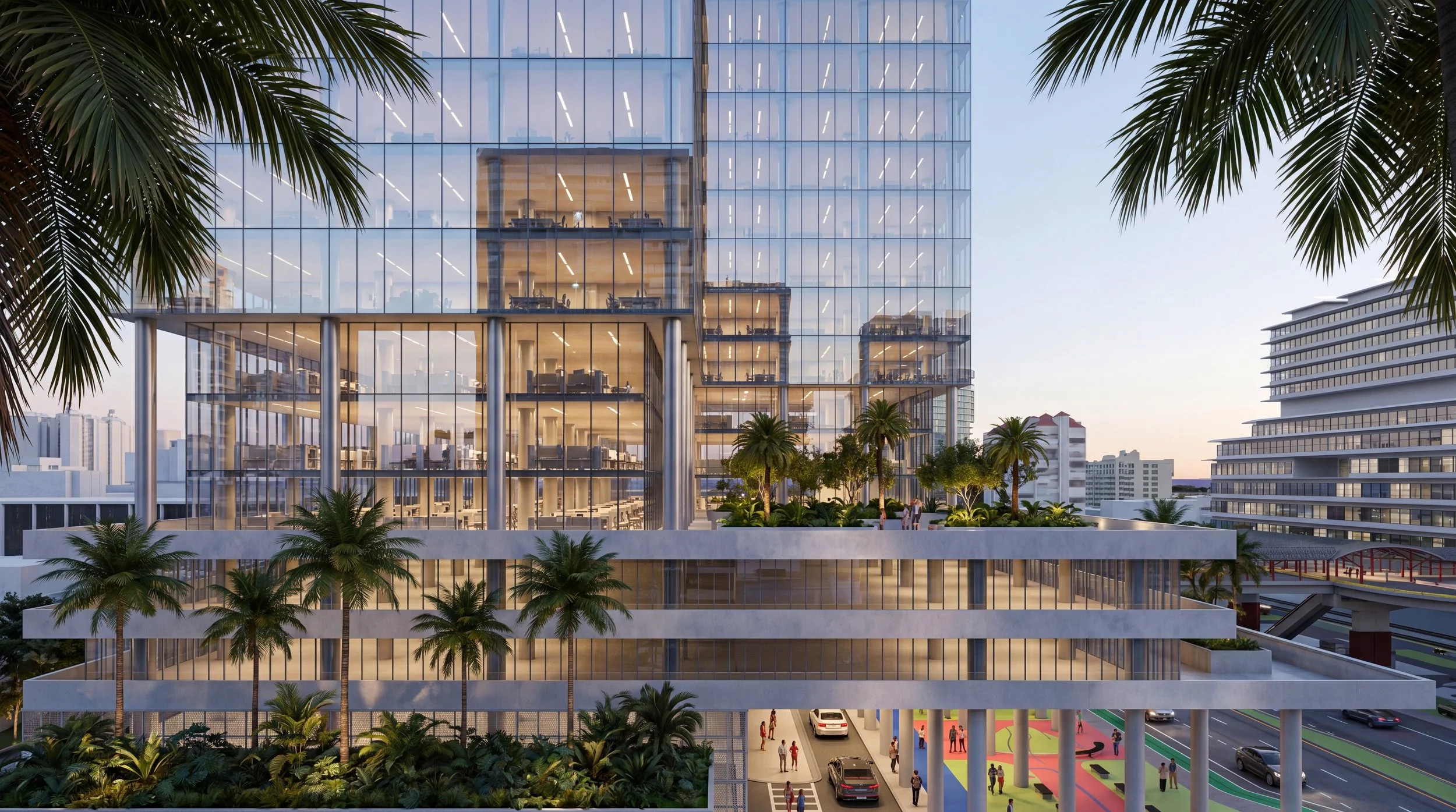
MIXED-USE OFFICE TOWER
WEST PALM BEACH, FLORIDA
A developer needed visuals for a public presentation of a mixed-use district redevelopment in West Palm Beach, Florida. The site had no design, no architect, no concept — just a location. The only brief: "I don't have the model or rendering, but please make an 18-story building at this location." We created the concept from scratch, integrated it into the surrounding urban fabric, and delivered an interactive 3D model, aerial renders, a top-view masterplan, and street-level renders. The visuals were published on the client's website at ddec.com and used in the public presentation of the district redevelopment project.
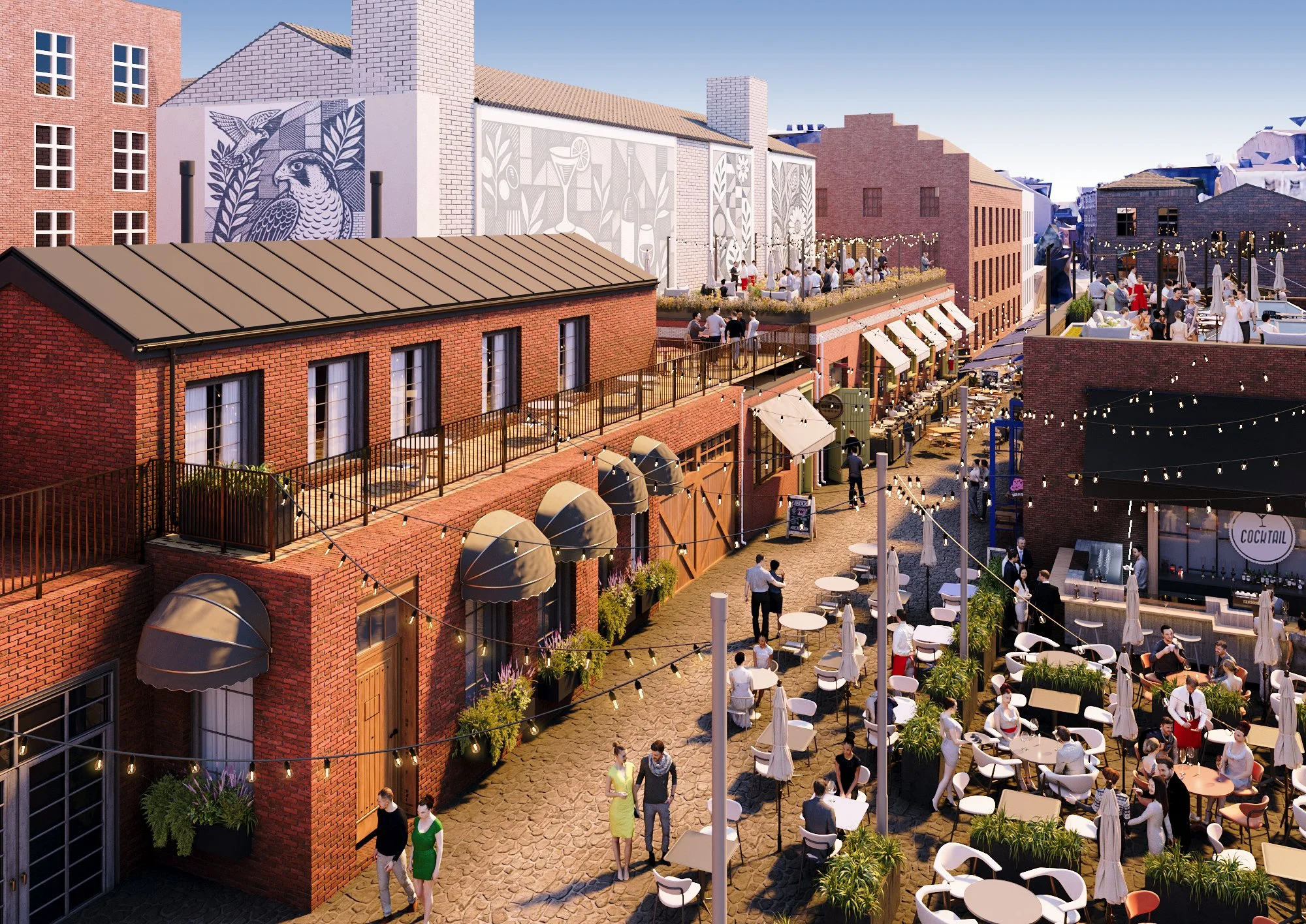
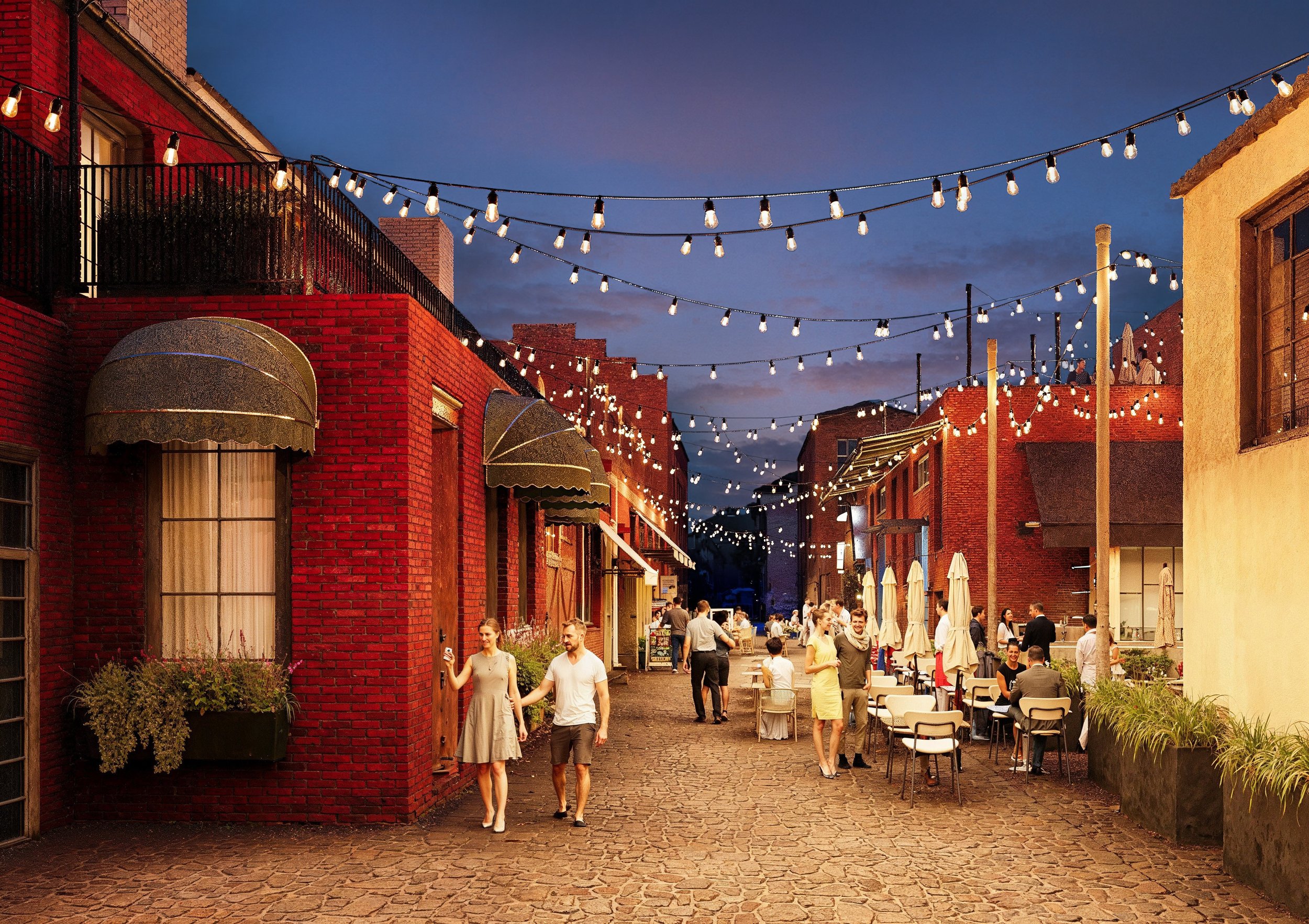
PEDESTRIAN RESTAURANT ROW VISUALIZATION
PHILADELPHIA, PENNSYLVANIA, USA
A developer was working on transforming an industrial city block at 200–300 Quarry Street, Philadelphia into a pedestrian restaurant row. The input was minimal — two AI-generated reference images and photos from Google Maps. We designed the street from scratch, adding the right materials, lighting, and atmosphere based on the client's references. Delivered 4 street-level renders showing the transformed block as a vibrant dining destination.
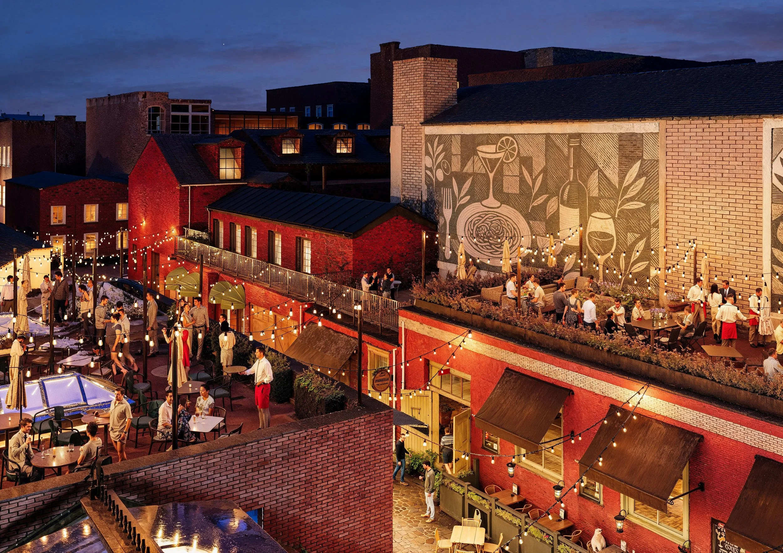
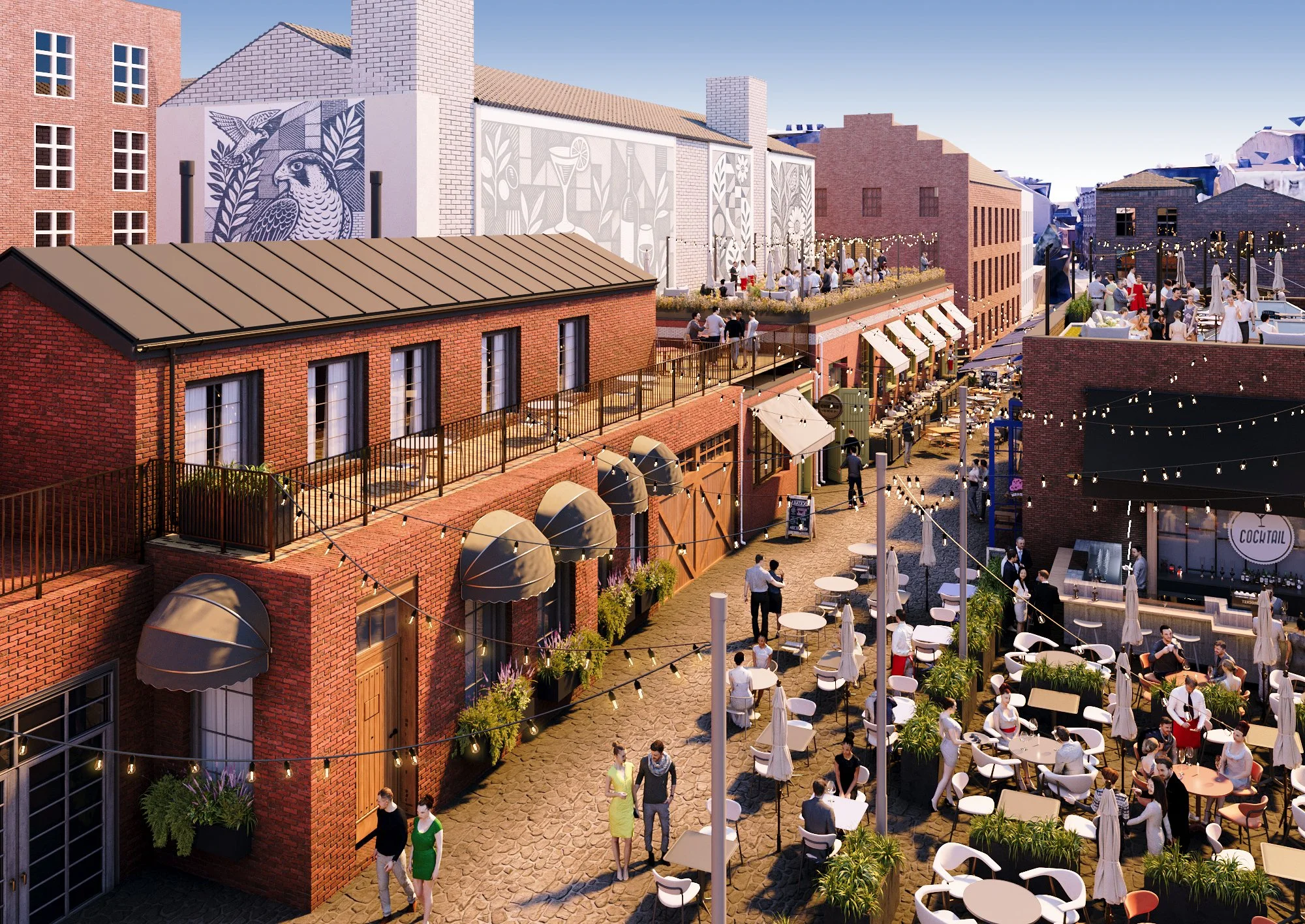
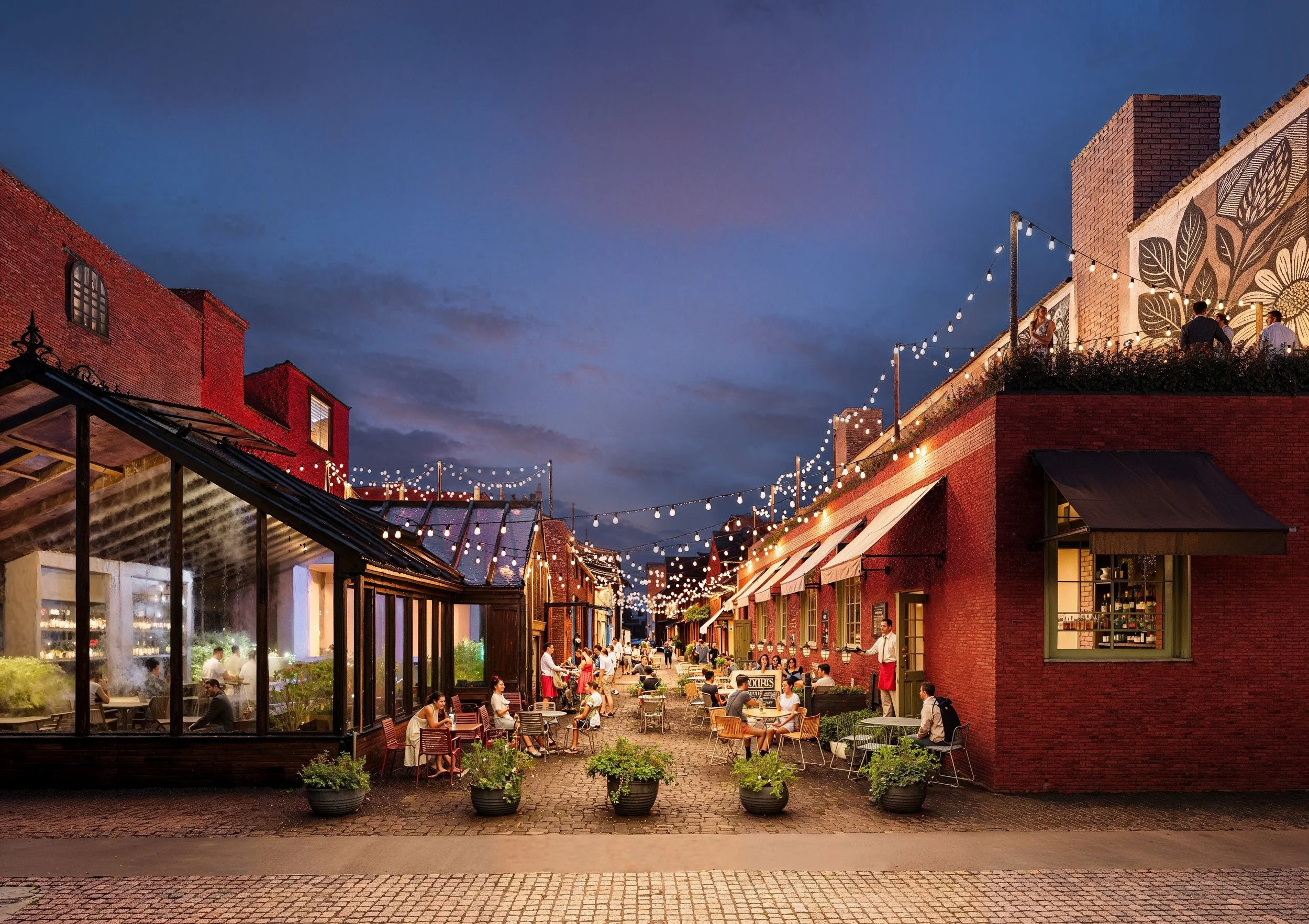
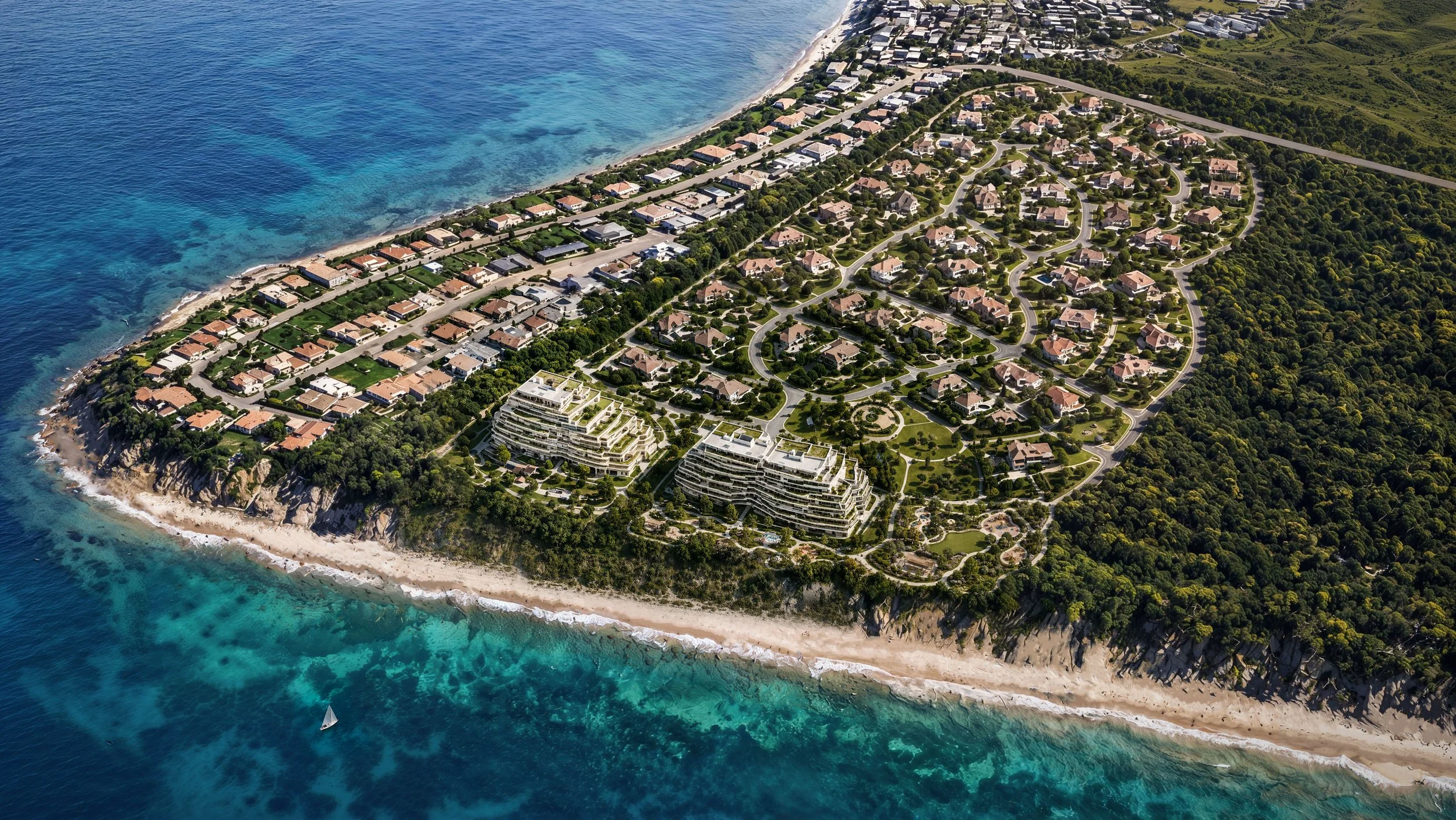
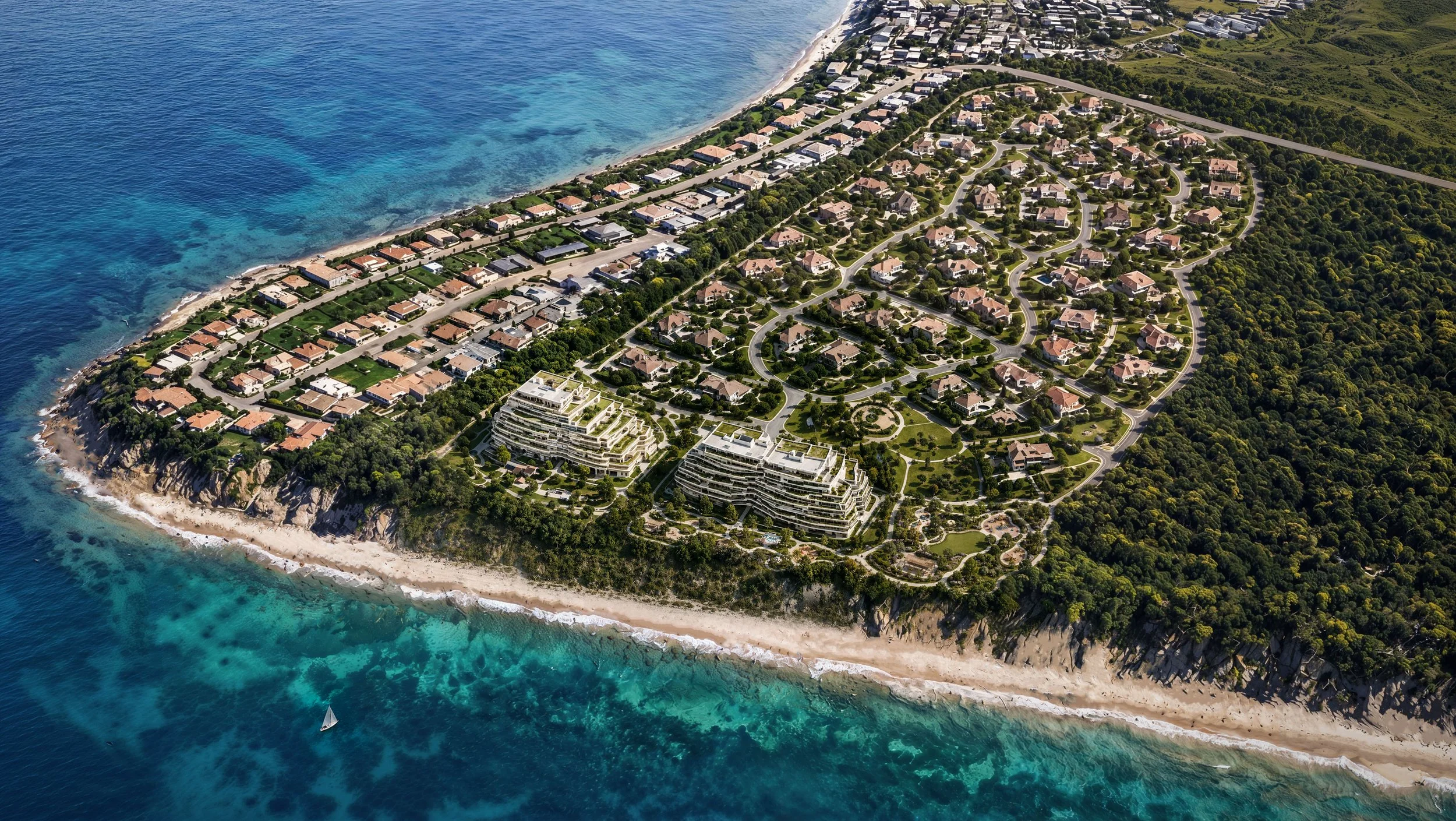
COASTAL RESIDENTIAL SUBDIVISION AERIAL VISUALIZATION
BIRCH BAY, WASHINGTON, USA
A developer needed an aerial rendering of a new residential subdivision in Birch Bay, Washington — apartments and open space along the western property lines, residential housing on the eastern part. The input was rough sketches with no specific references or design direction. We built the masterplan concept from scratch and produced one large-scale aerial render using a combination of 3D modeling and AI-enhanced visualization. The result communicates the layout, coastal setting, and lifestyle feel of the development.
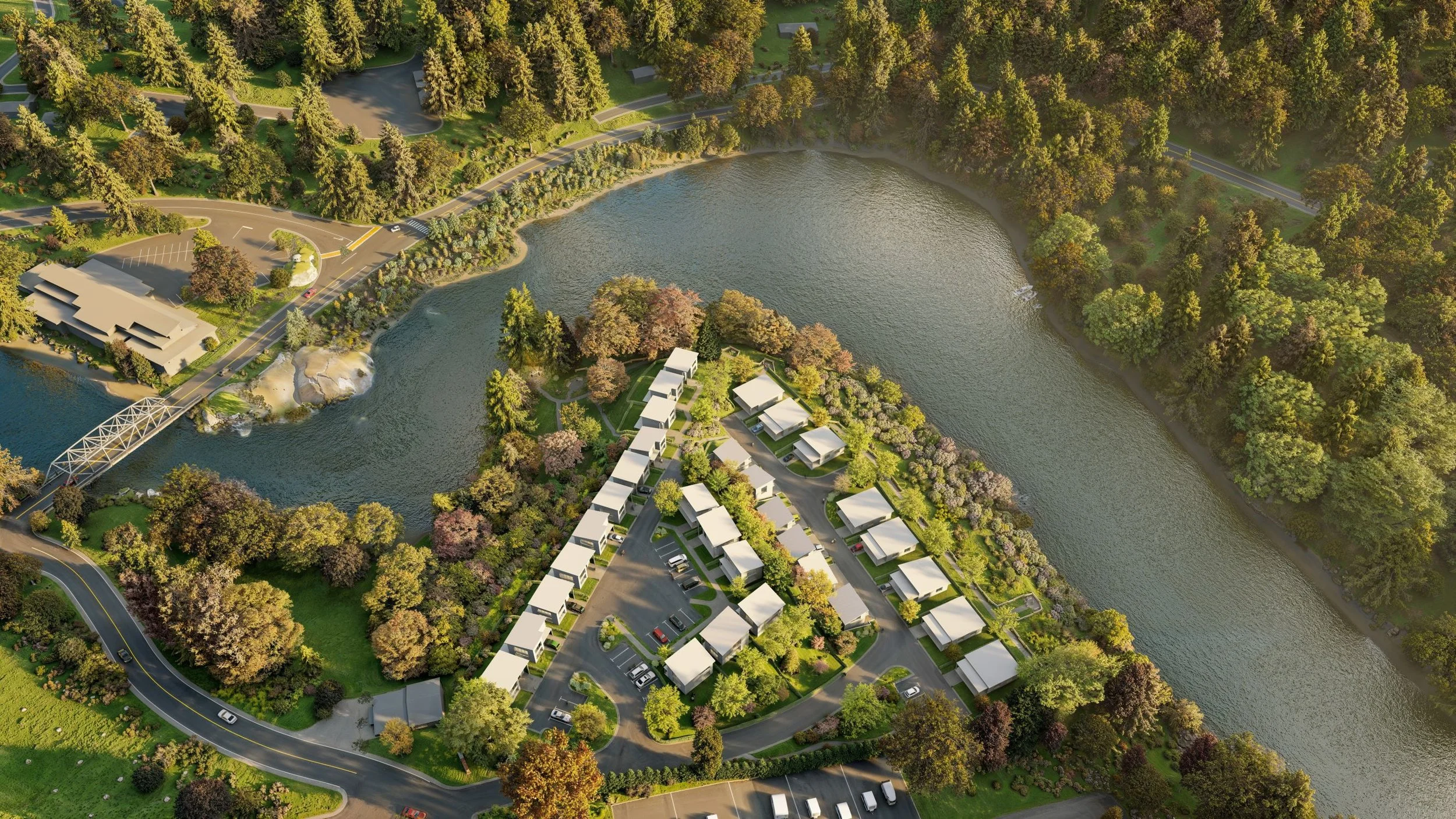
WATERFRONT COTTAGE COMMUNITY VISUALIZATION
PORT ALBERNI, BRITISH COLUMBIA, CANADA
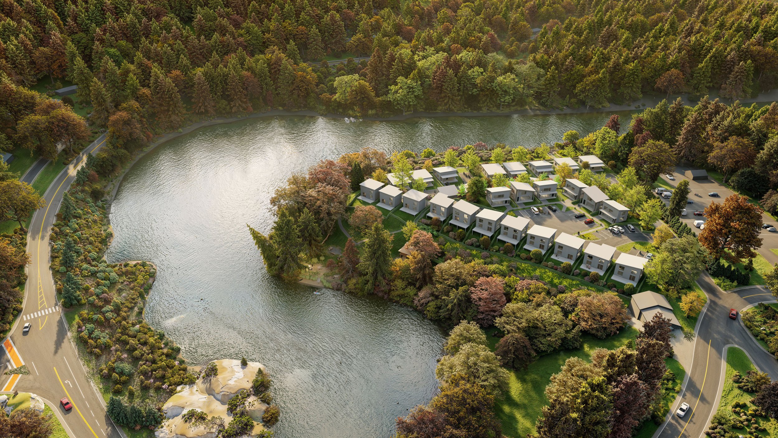
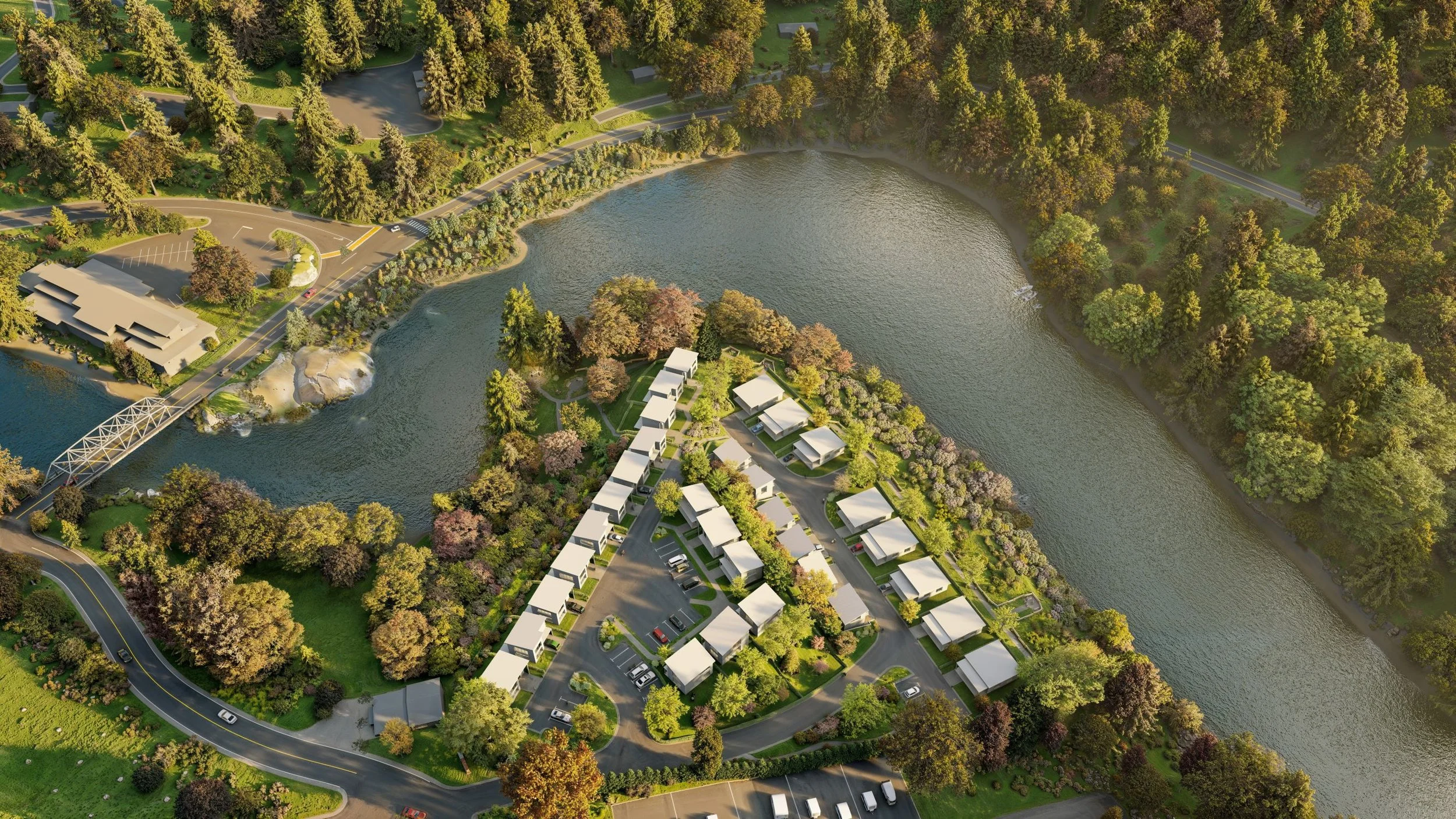
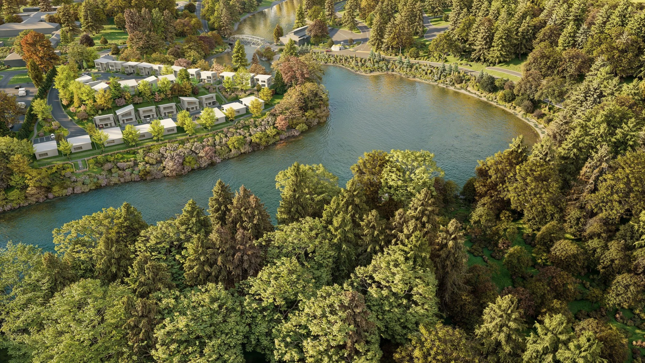
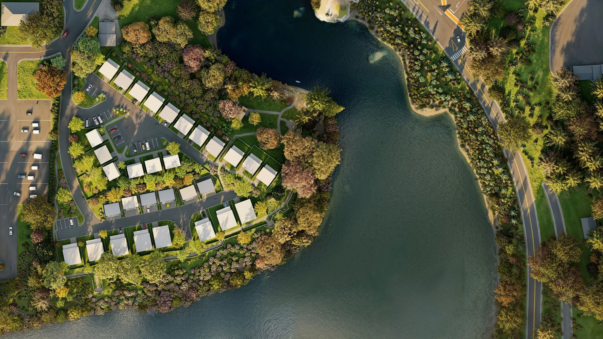
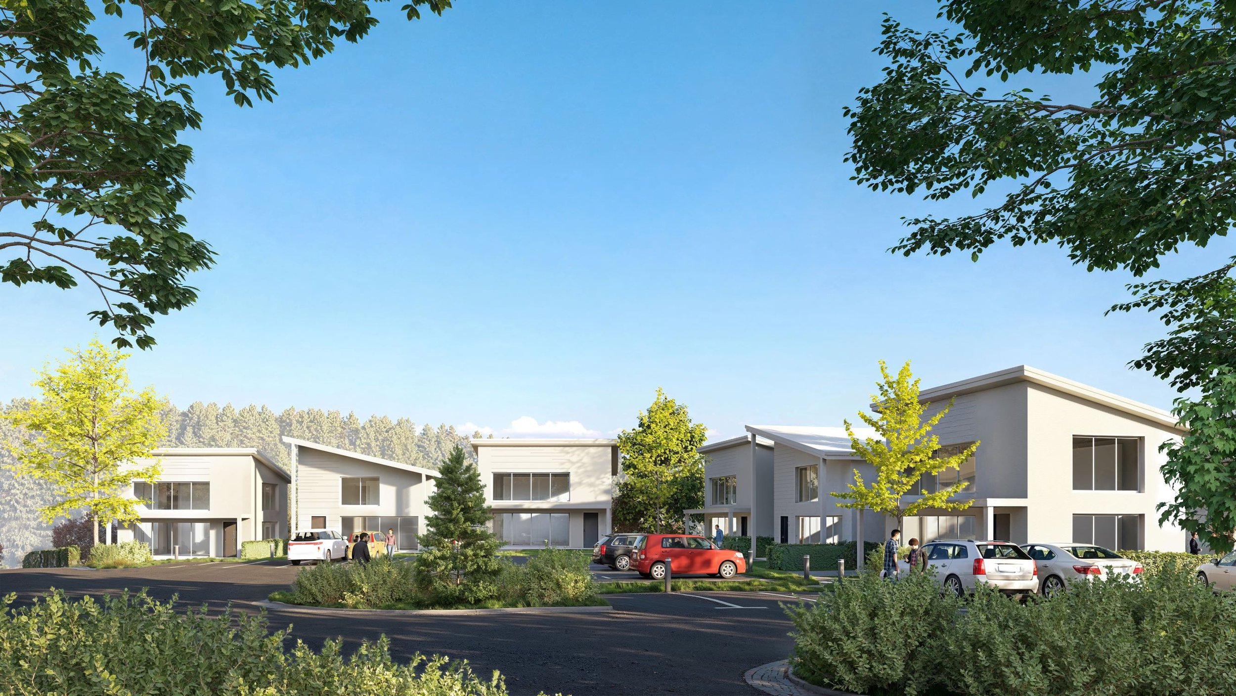
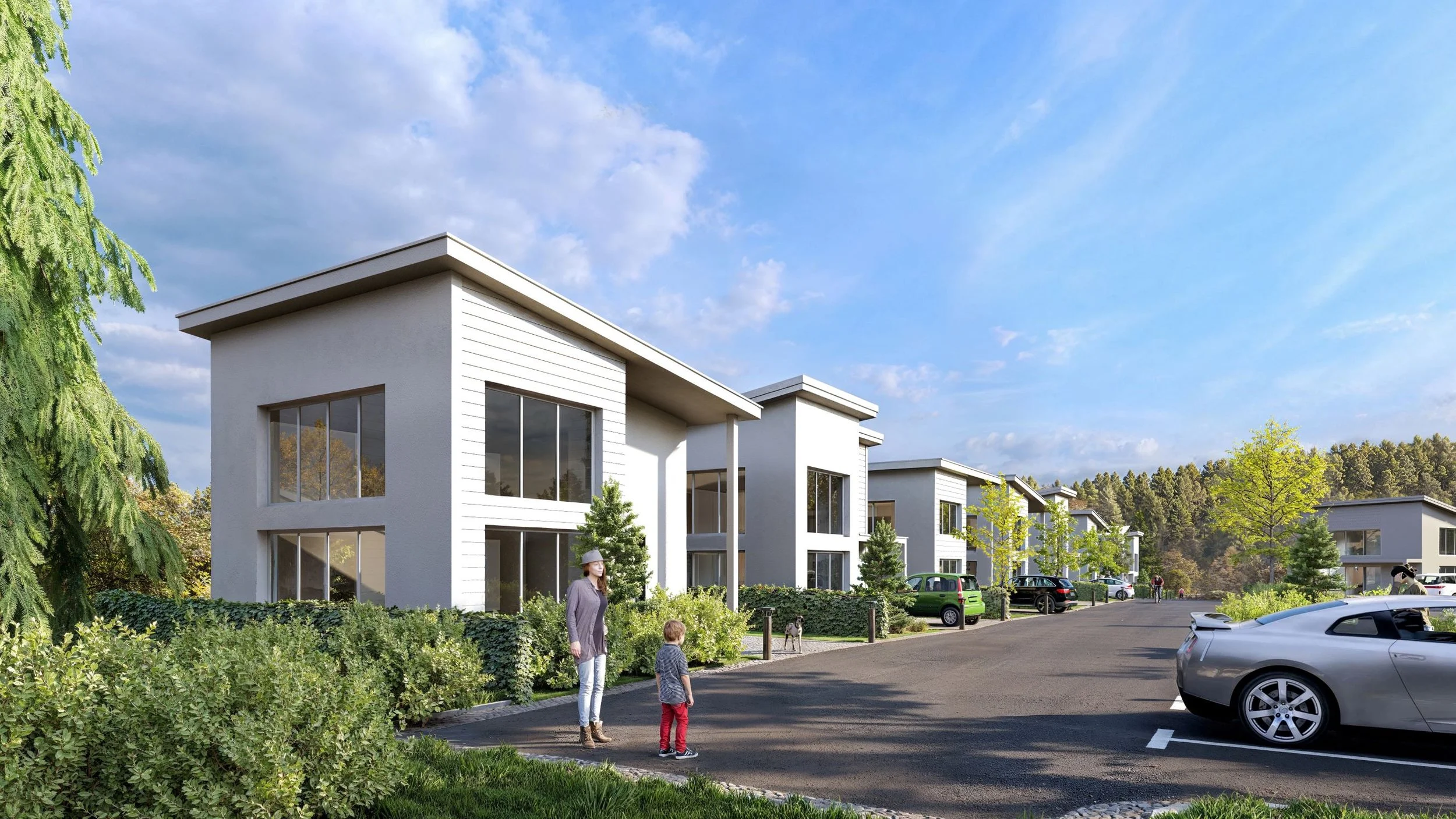
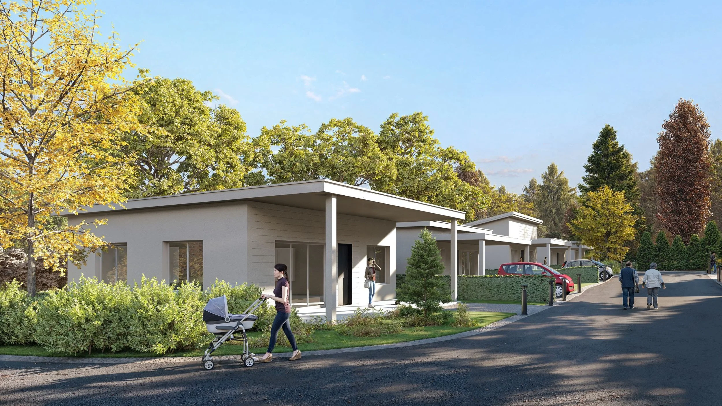
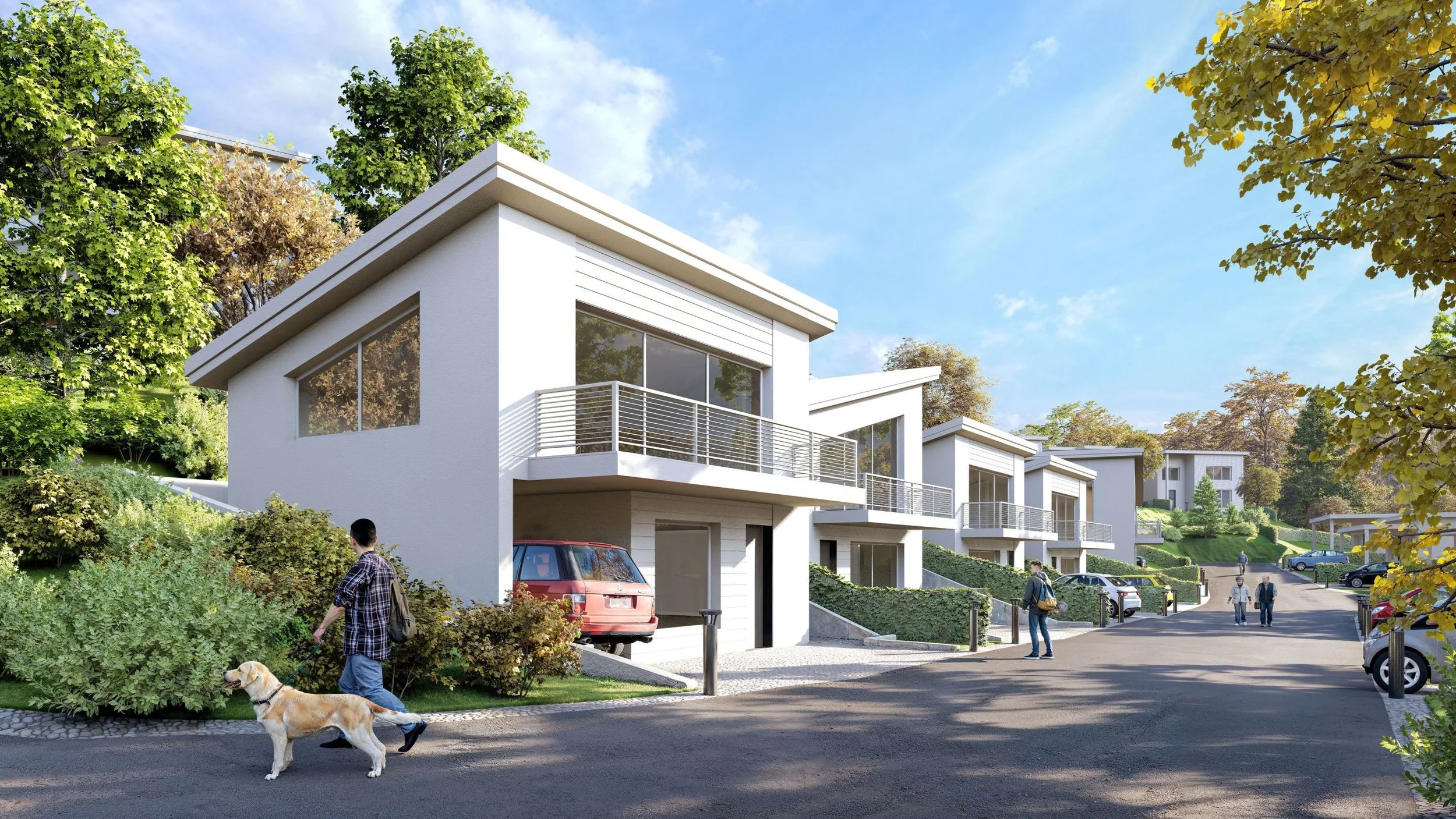
A developer needed a full visualization package for the presale launch of RiversEdge — a waterfront community of 31 single-family lots in Port Alberni, British Columbia. The focus was on site planning and landscape, not architectural detail — buildings were intentionally kept white without textures. The masterplan changed mid-production and we adjusted the layout as it evolved. Delivered aerial renders showing the site and landscape, street-level renders of all three building types, a flat top-view plan for the website lot selector, and a 2-minute video walkthrough. All visuals were published on the client's sales website at riversedgeinport.com to support the presale launch.
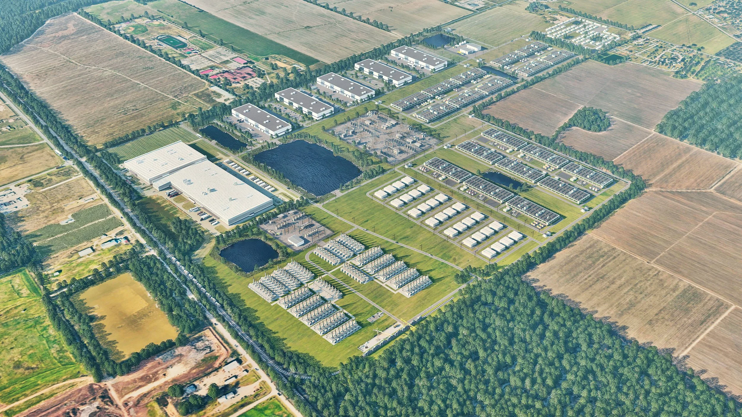
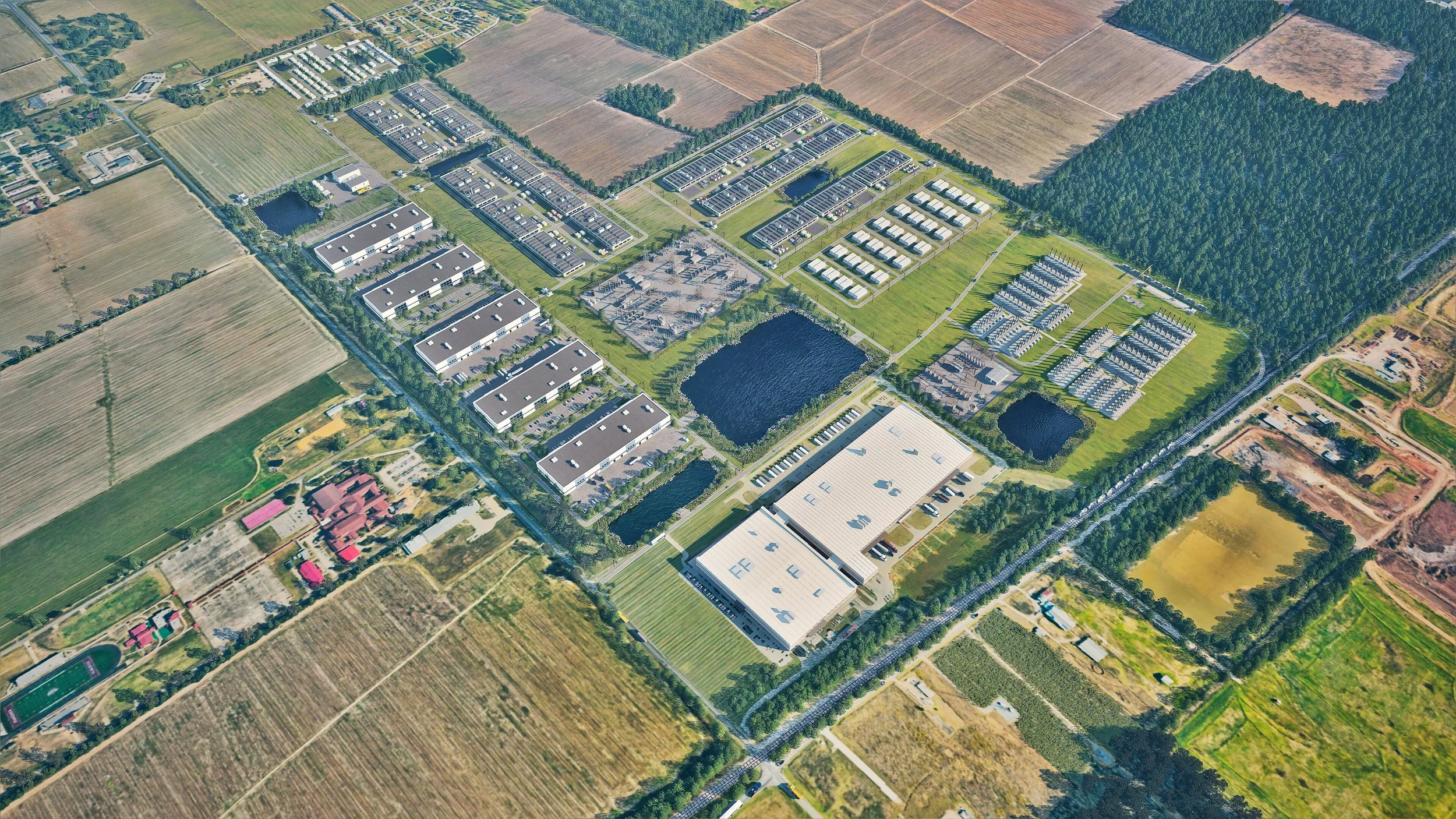
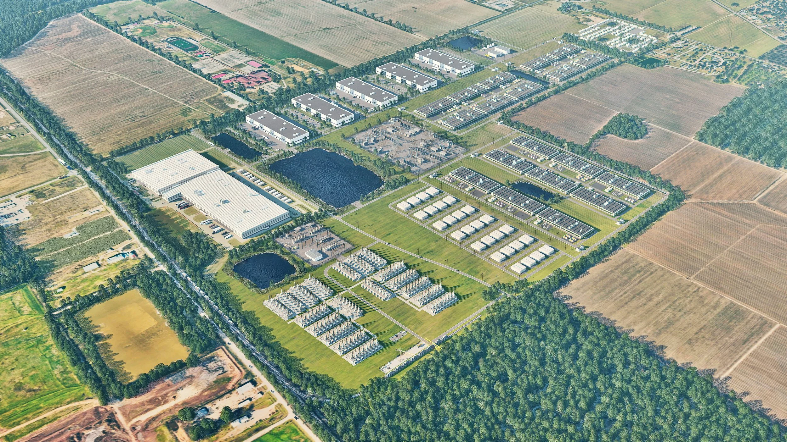
DATA CENTER CAMPUS AERIAL VISUALIZATION MONROE, LOUISIANA, USA
Broadwaters Digital needed a large-scale aerial visualization of their data center campus in Monroe, Louisiana — built directly from engineering drawings with no redesign or reinterpretation. Exact scale, orientation, and circulation. No facade designs were provided, so we proposed the facade treatment and how the buildings related to each other visually. Delivered two large-scale aerial renders showing the full campus in context with the surrounding landscape and nearby settlements.
★★★★★ "Great work product" — Taylor Malfitano, Broadwaters Digital
LUXURY RESORT COMMUNITY VISUALIZATION
ZION NATIONAL PARK, UTAH, USA
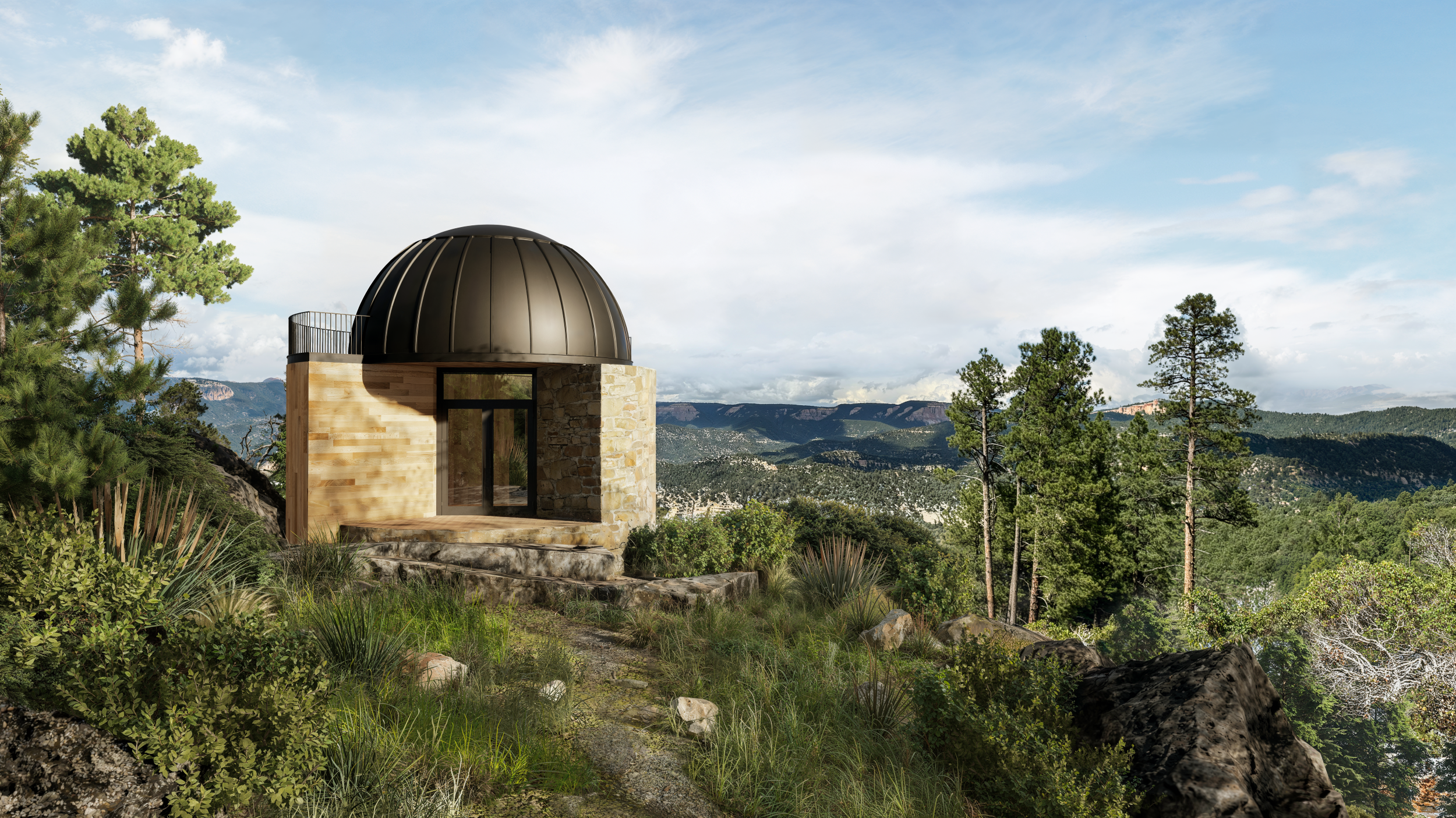
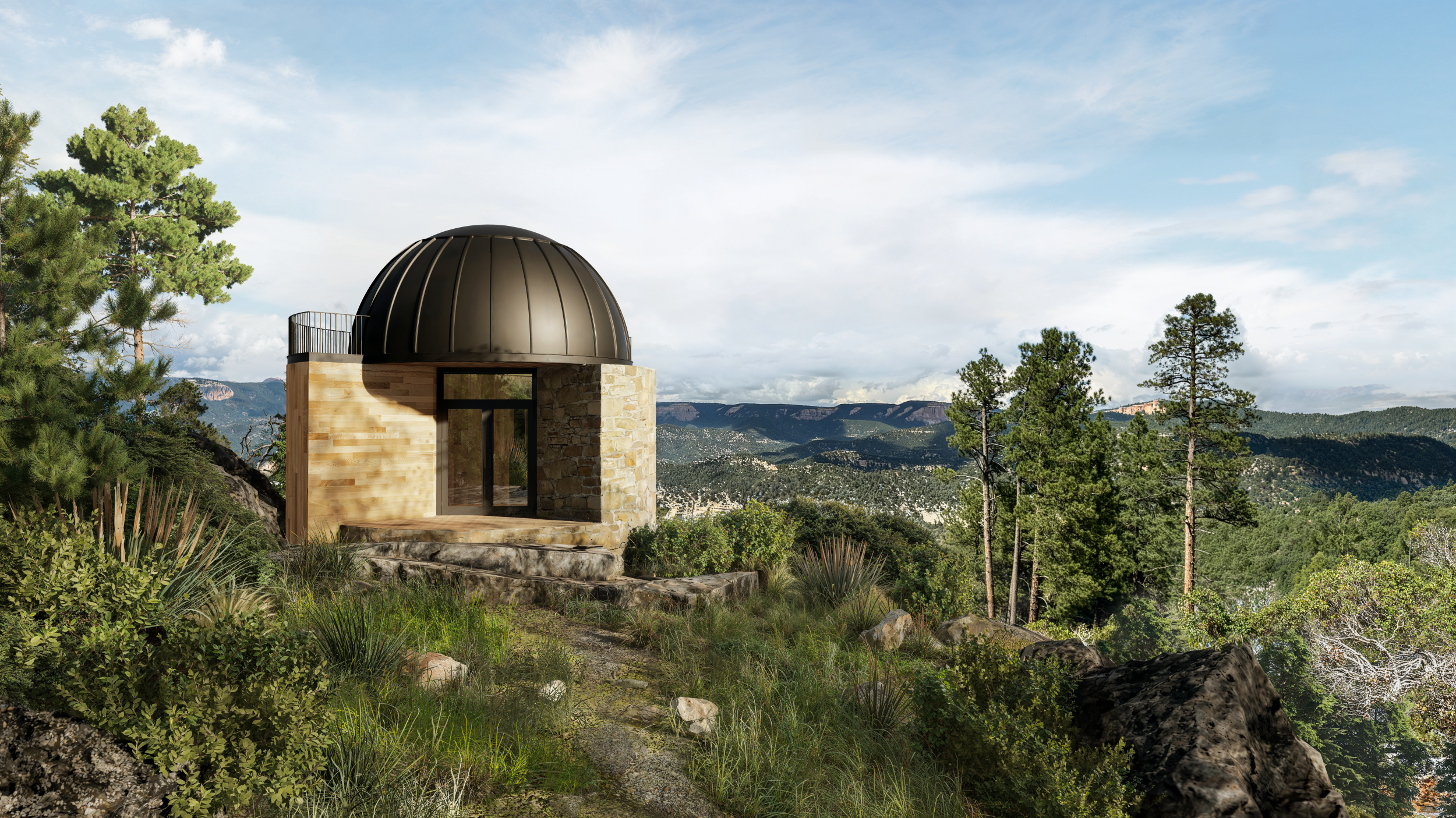
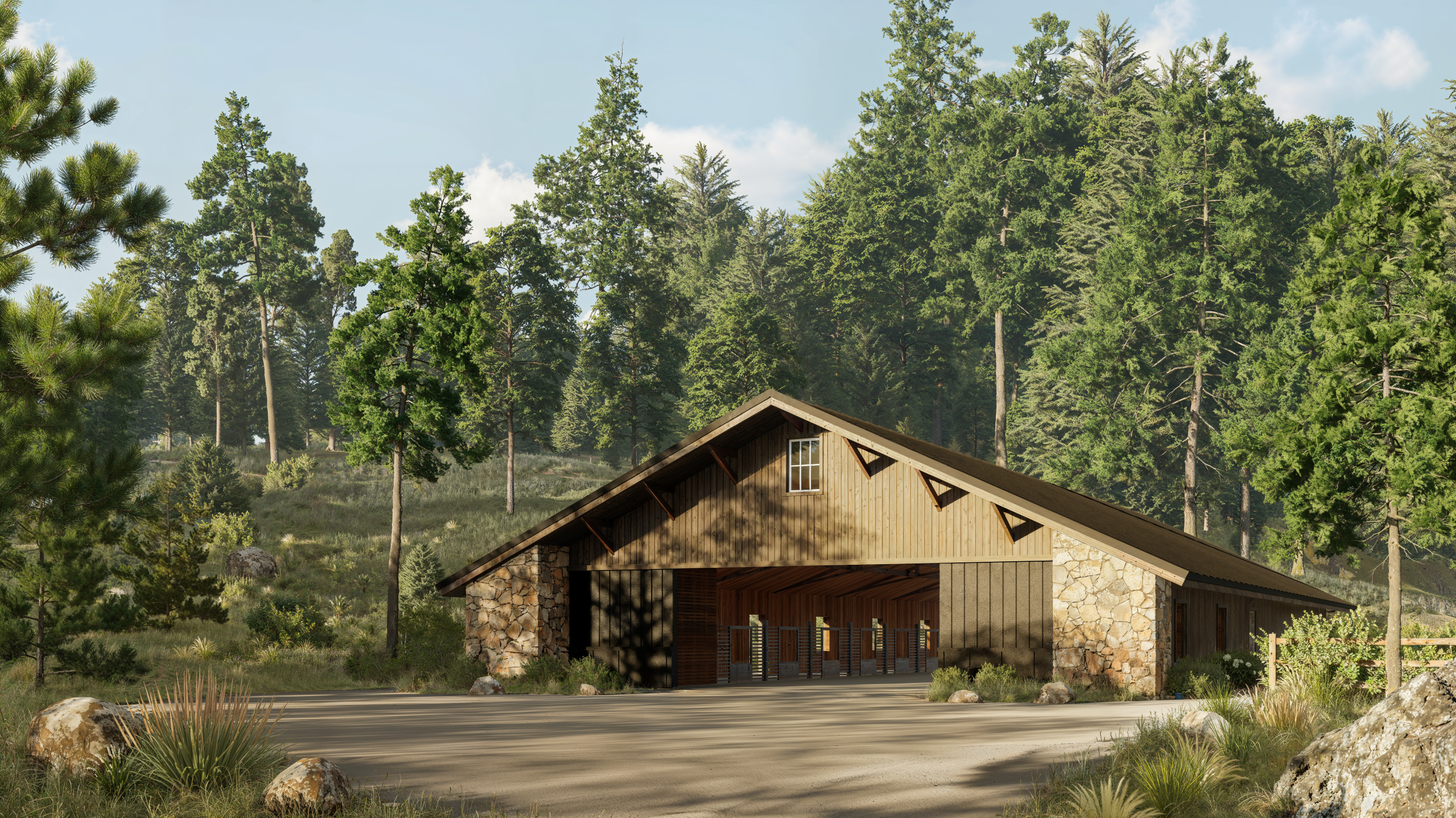
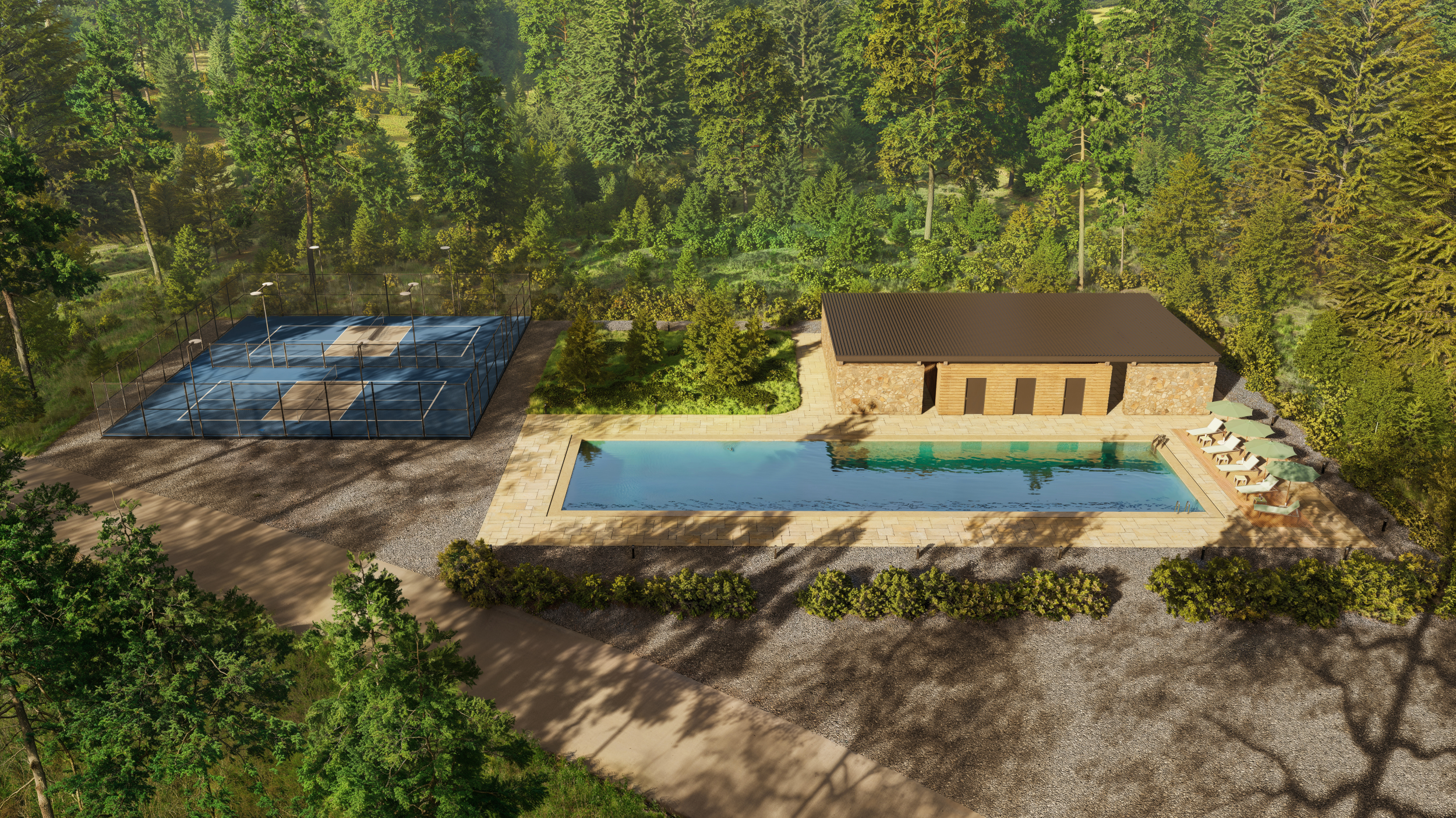
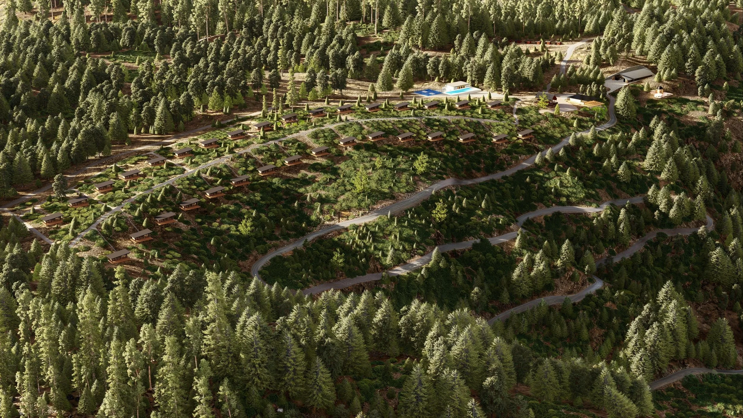
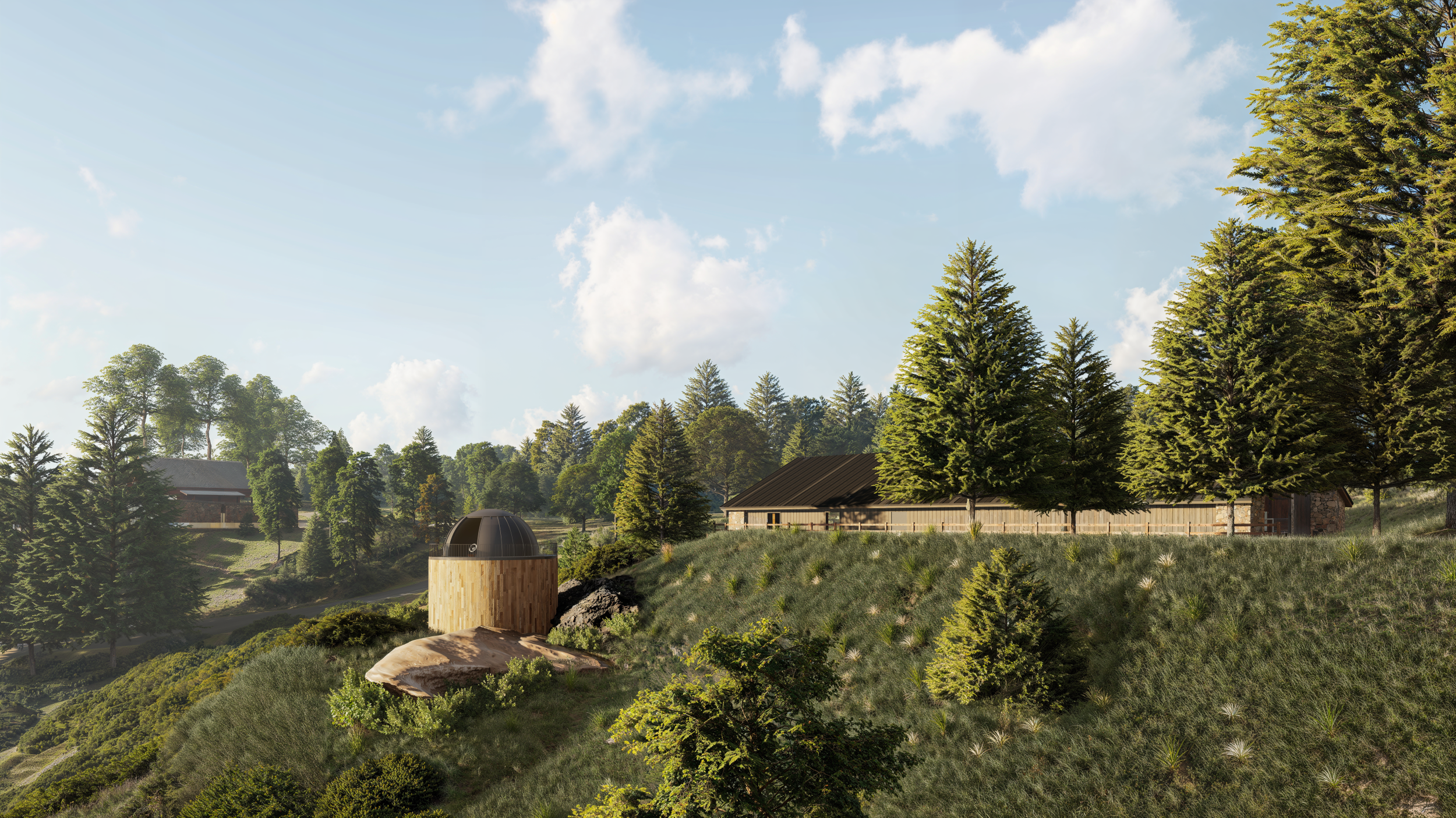
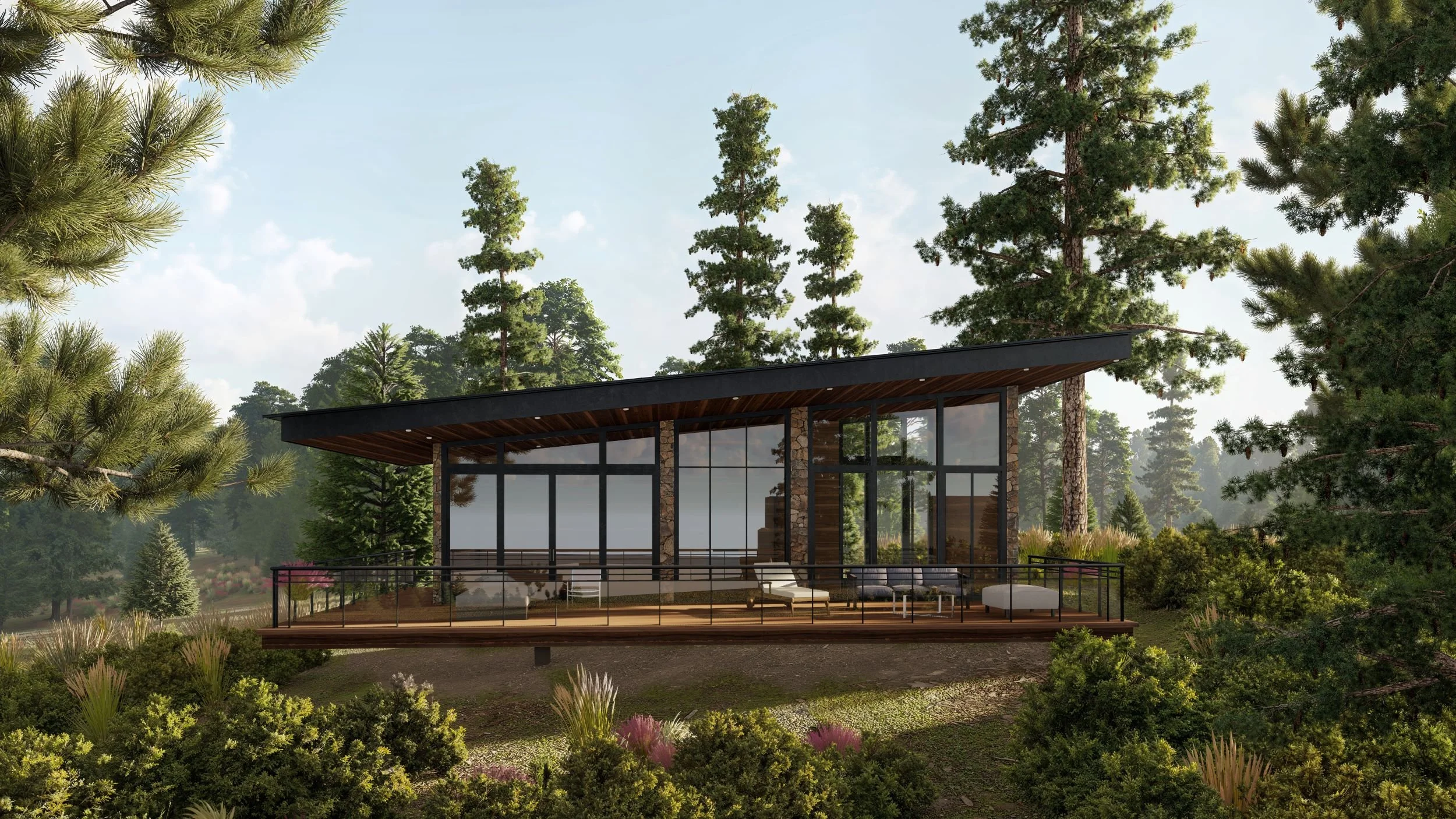
A developer needed a full visualization package for a luxury cottage community near Zion National Park, Utah — 33 cabins plus standalone amenity buildings including an observatory, stables, pool, tennis courts, and restaurant. The input was a rough masterplan sketch and a few AI-generated reference images. No finalized site plan existed, so part of our work was helping the client figure out how to place all 33 cabins on the site. Delivered aerial renders of the full community and street-level renders of every unique building type shown individually in its natural mountain setting.
FERN STREET CORRIDOR REDESIGN VISUALIZATION
WEST PALM BEACH, FLORIDA, USA
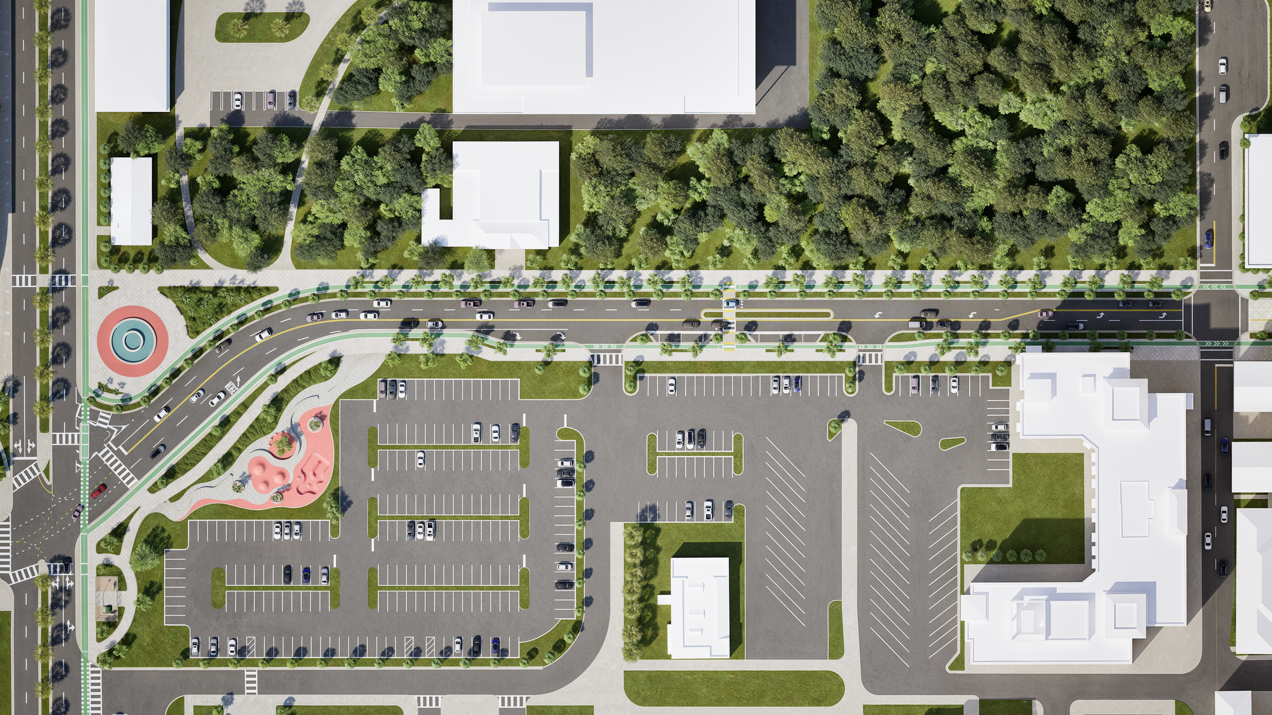
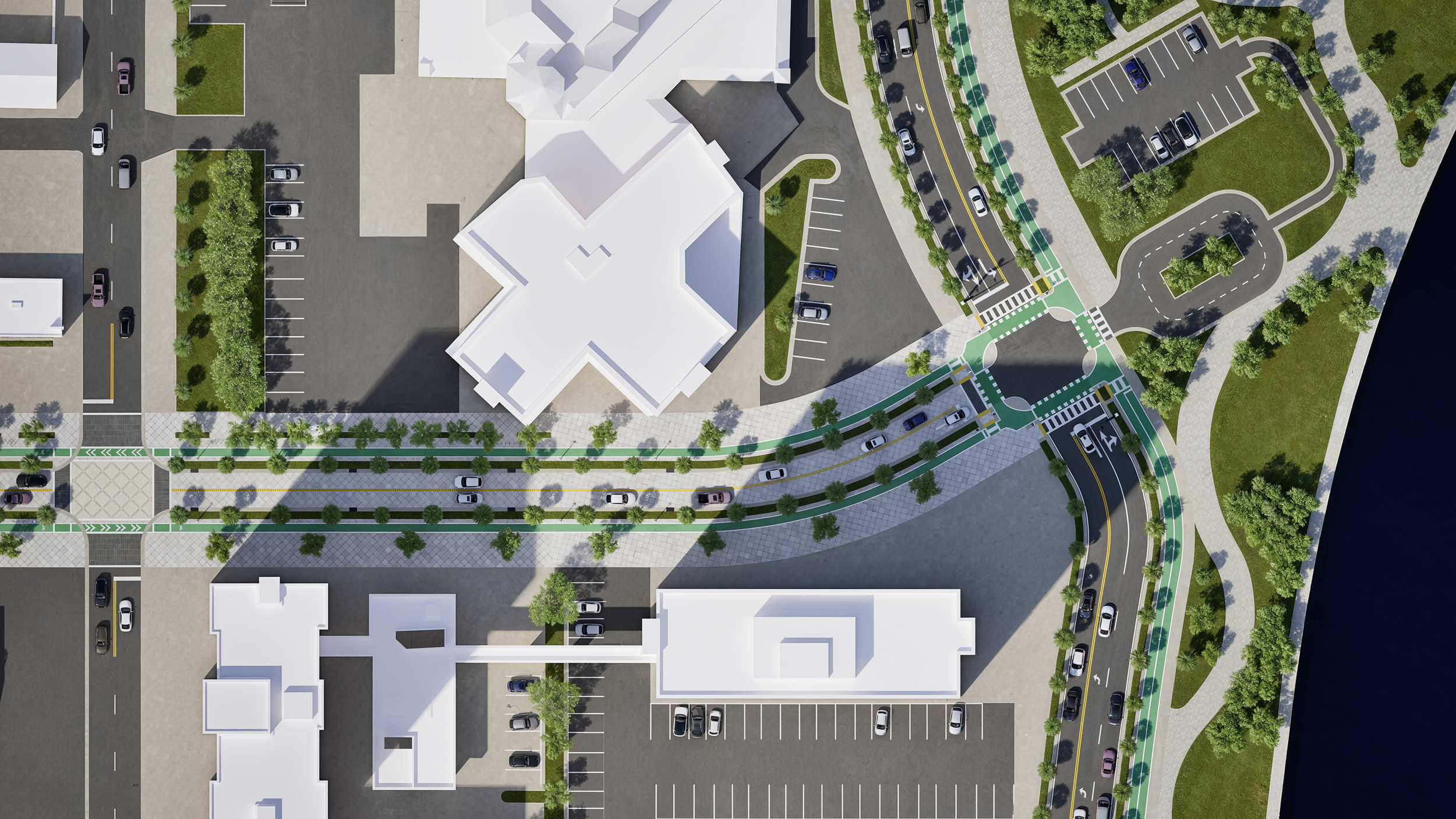
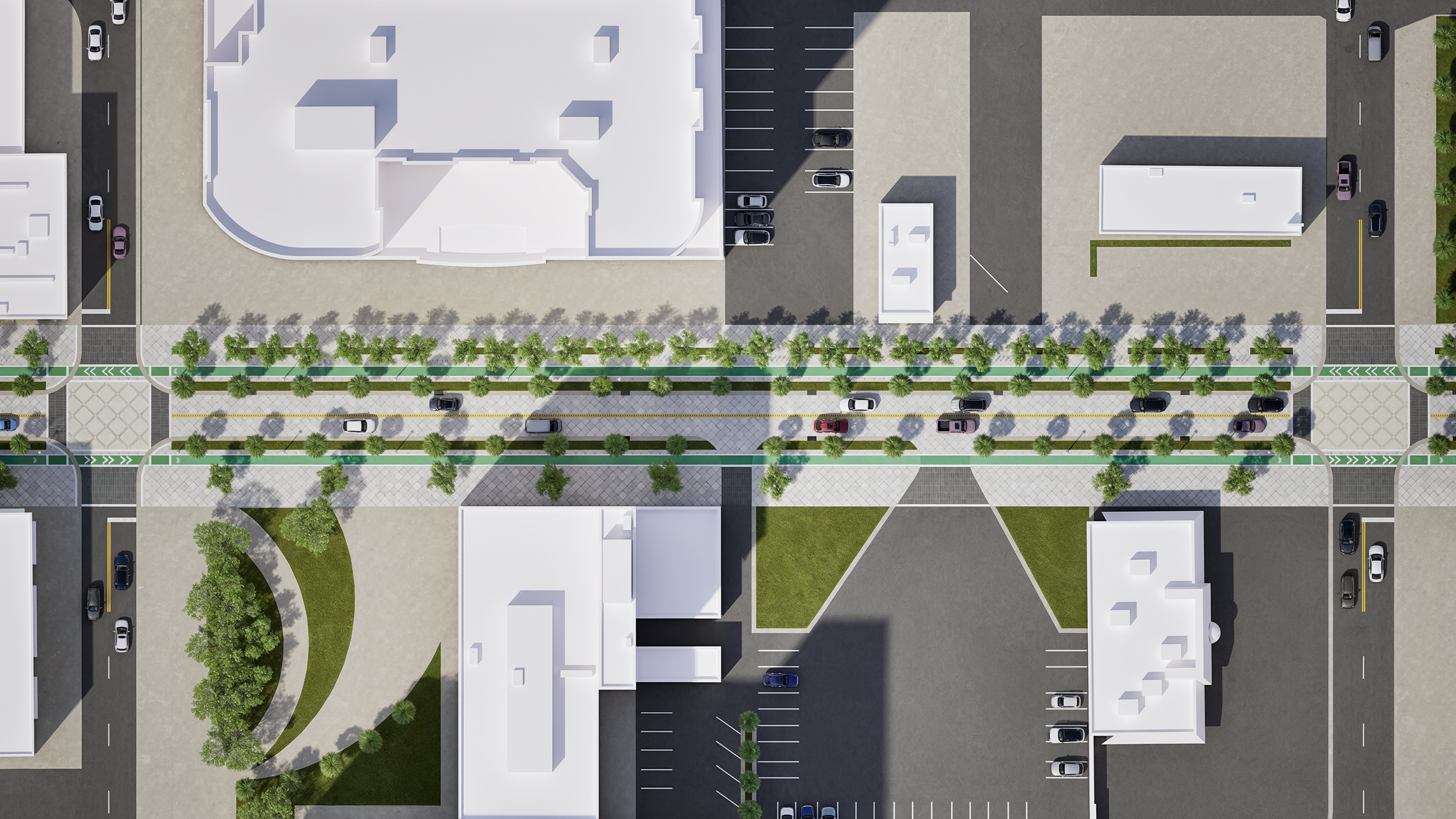
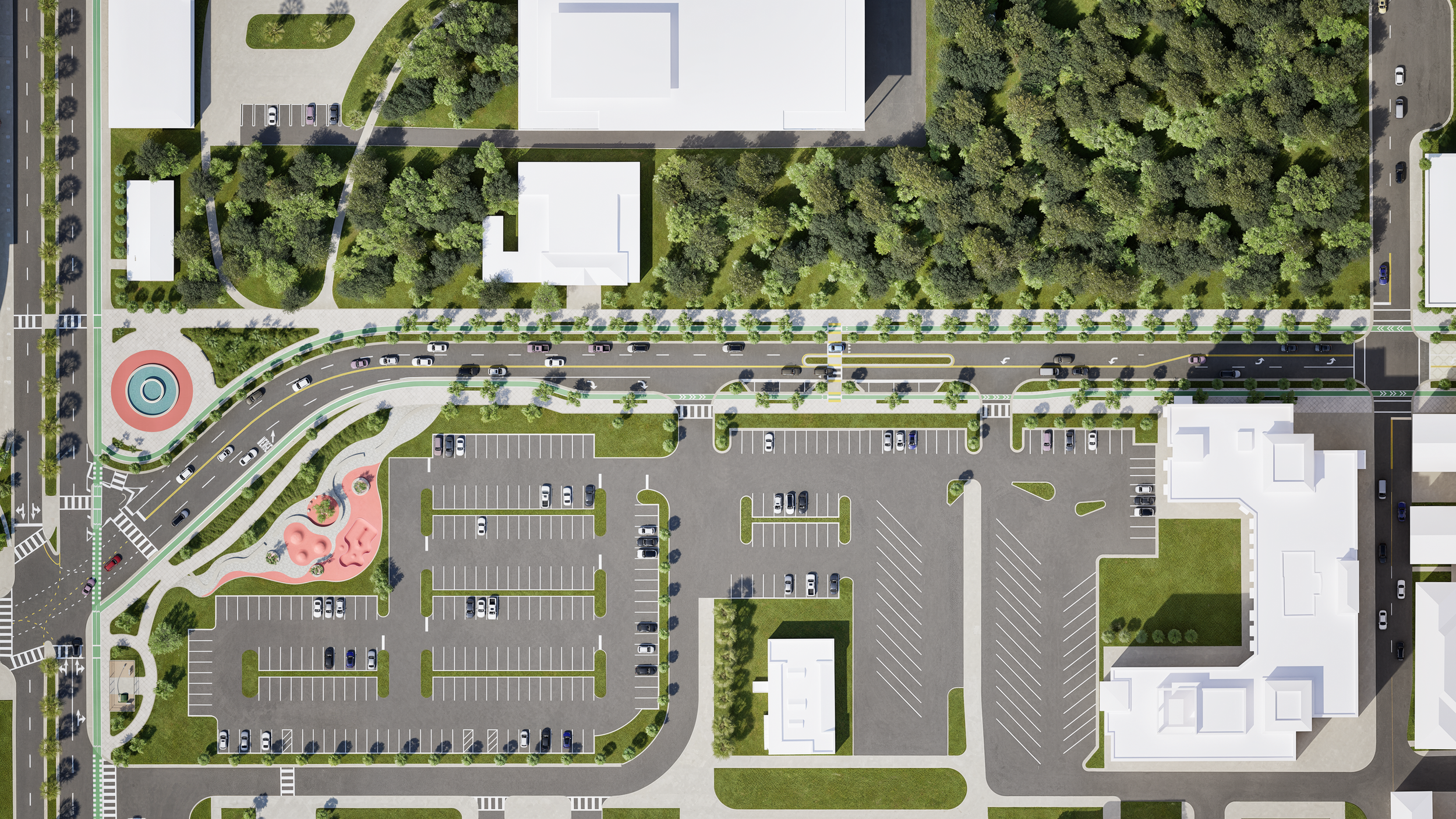
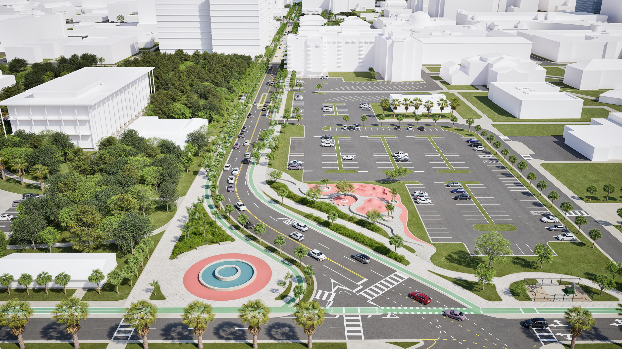
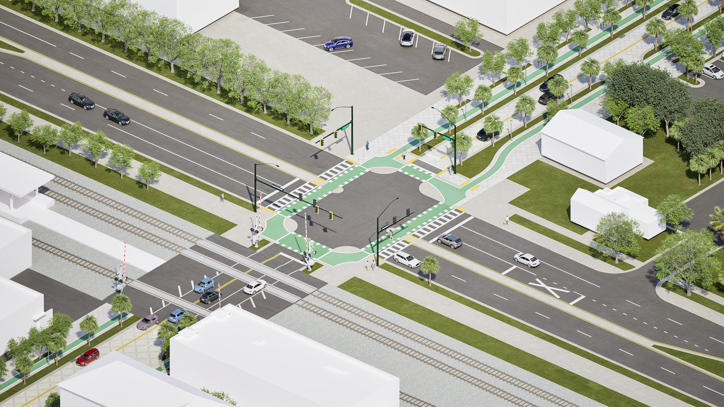
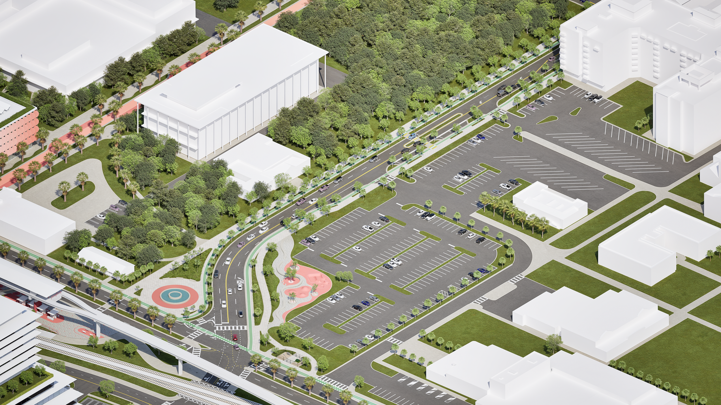
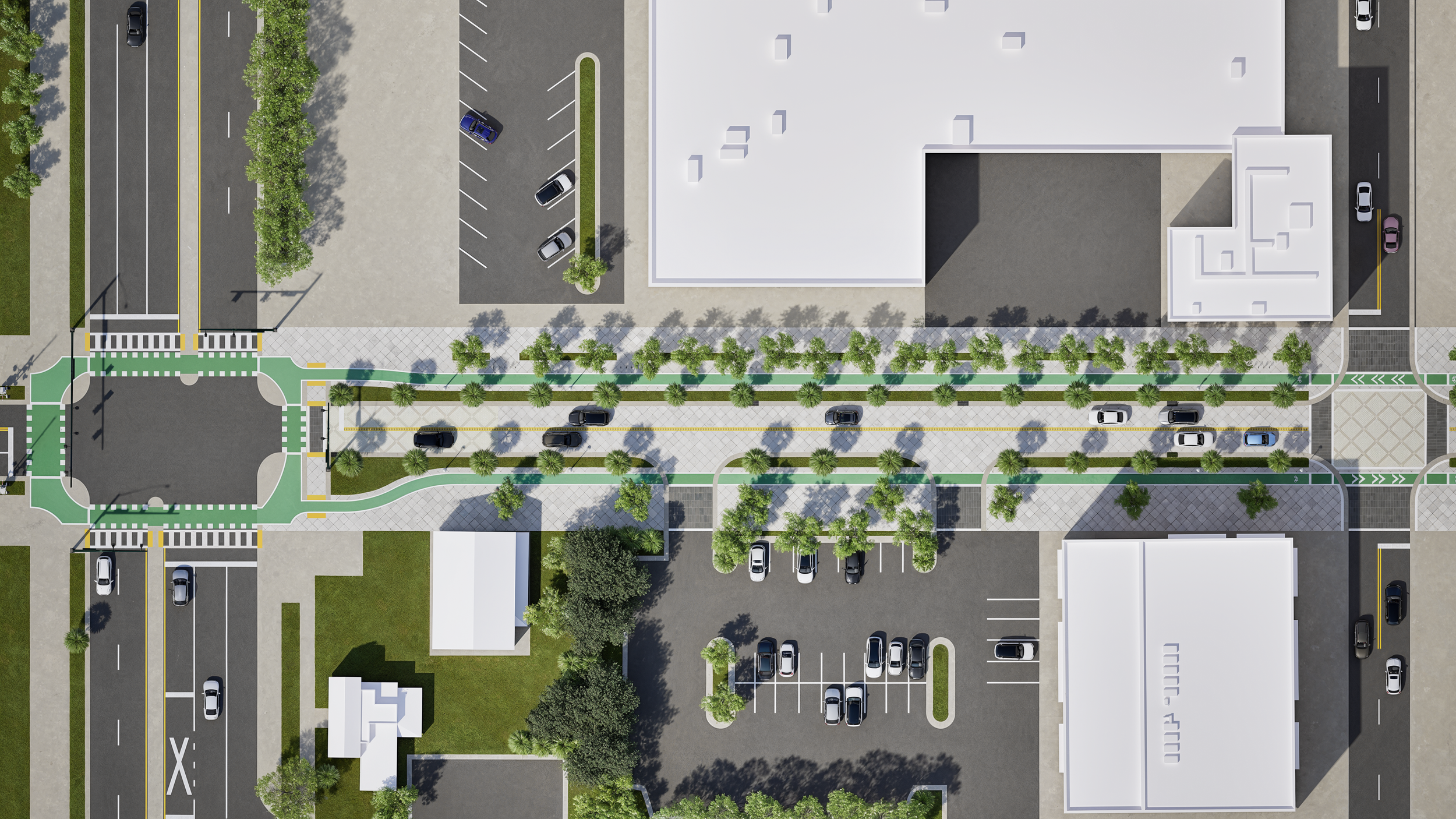
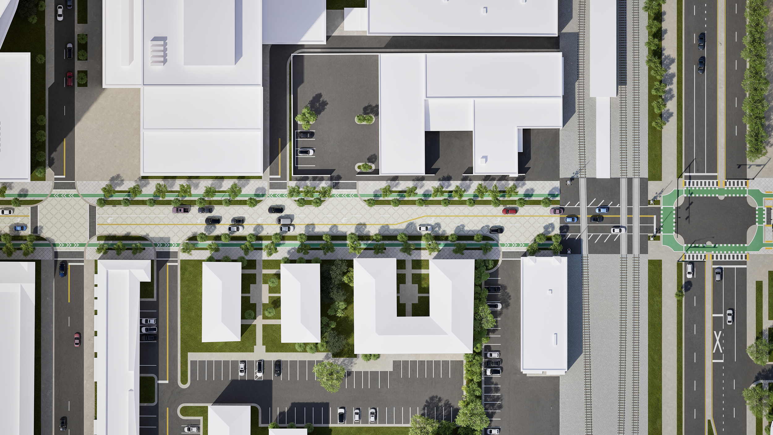
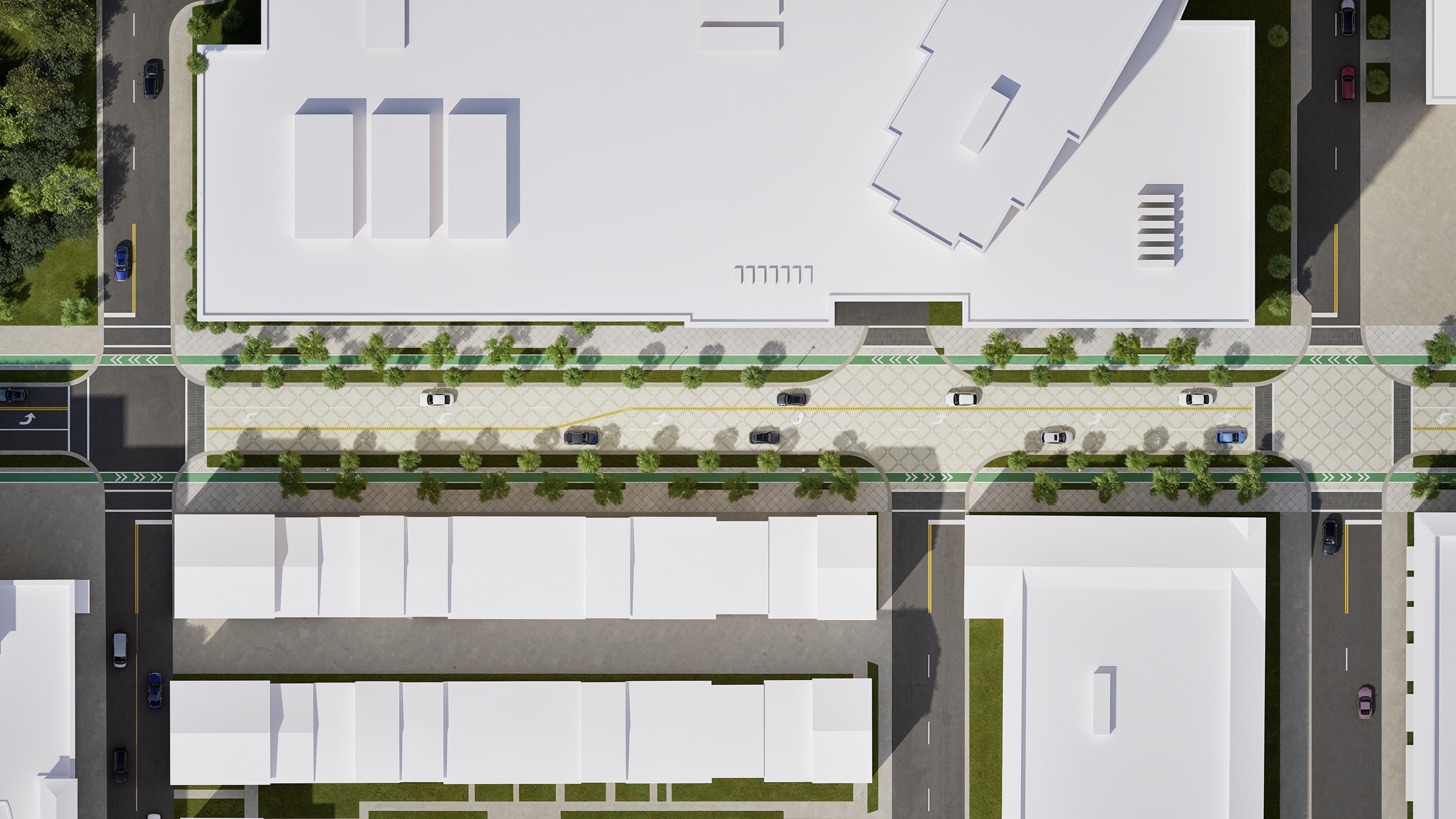
A client needed a full visual presentation of a redesigned Fern Street corridor in West Palm Beach — showing how the updated street profile would integrate with and interact with the surrounding urban context, for presentation to the city and the public. The brief was text only: no drawings, no existing models. The core challenge was creating an accurate, true-to-scale street profile with all real-world constraints — setbacks, intersections, traffic flow, and zoning limitations. Delivered a series of top-view renders of street segments, axonometric views, and aerial perspectives. Timeline: 3 weeks.
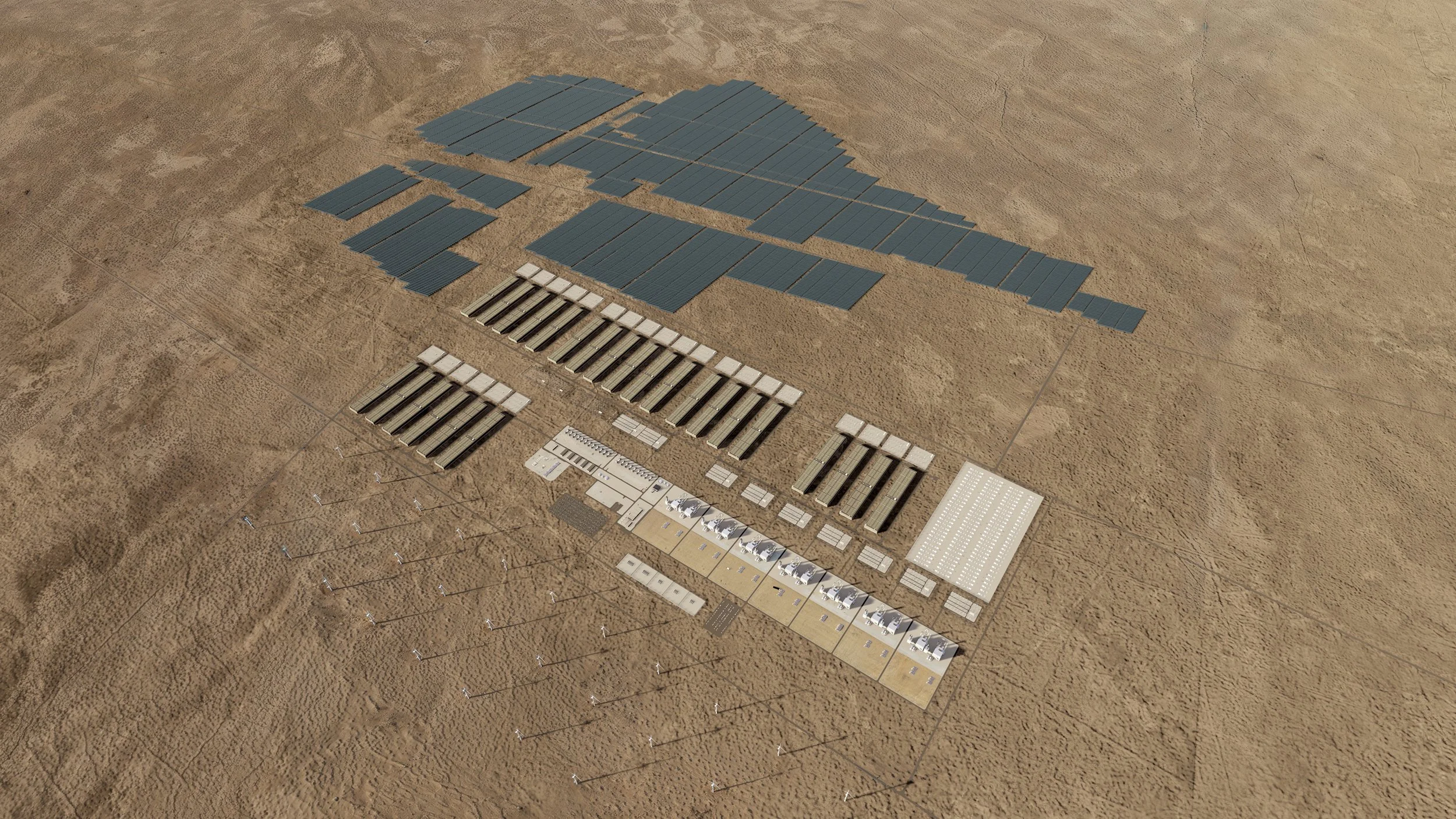
DATA CENTER CAMPUS AERIAL VISUALIZATION
TEXAS, USA
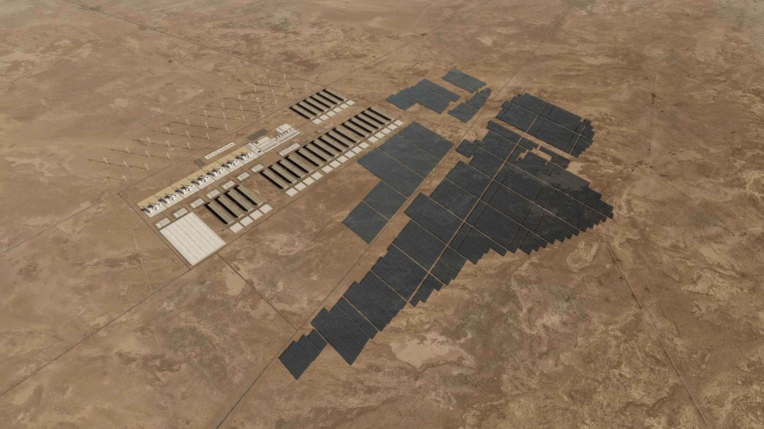
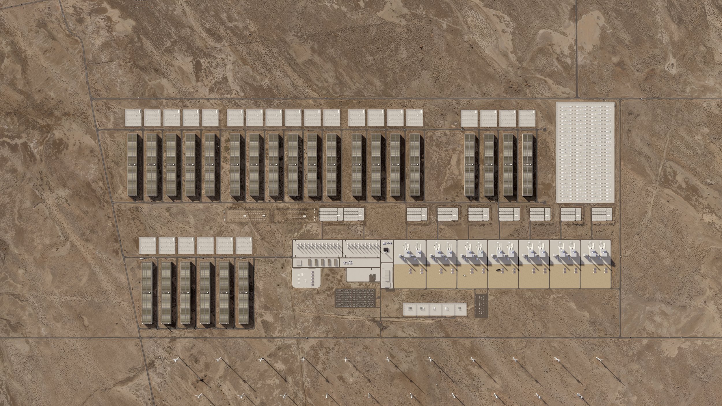
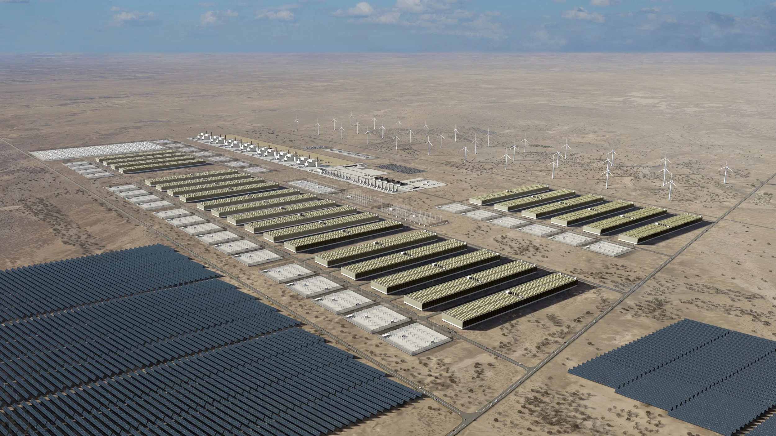
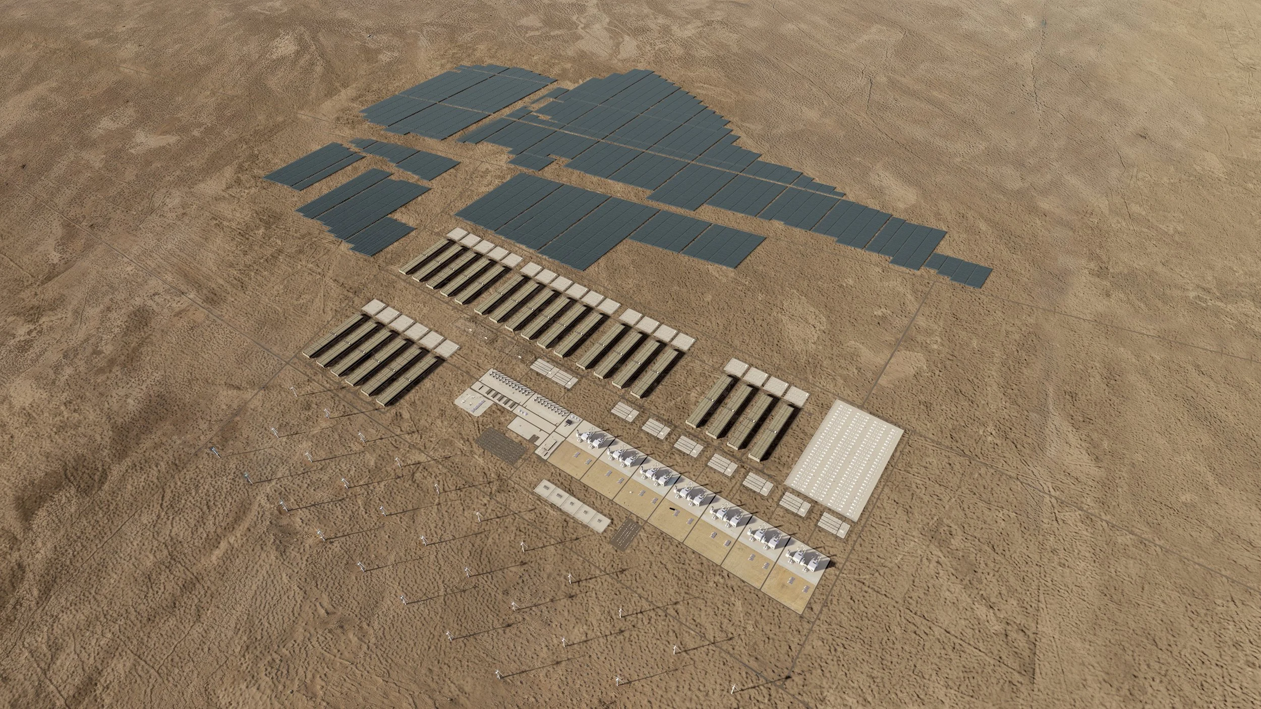
Pacifico Energy needed aerial renders of GW Ranch — a multi-thousand-acre off-grid power generation campus in Texas. No facade designs were provided, so we proposed the facade treatment and how the buildings related to each other visually. The core challenge was the scale: a hundred-square-kilometer site with building complexes spanning several kilometers, all needing to read clearly in context with the surrounding landscape. Delivered two large-scale aerial renders showing the full campus integrated into the Texas desert landscape. The visuals were published on the client's website, featured in Forbes, and supported the TCEQ regulatory approval process. Pacifico Energy secured 7.65 GW — the largest power generation permit ever issued in the United States.
★★★★★ "Great work product" — Constantyn Gieskes, VP of Project Development, Pacifico Energy